Forest-Saint-Julien
Forest-Saint-Julien | |
|---|---|
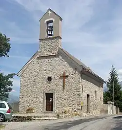 The chapel of Forest-Saint-Julien | |
 Coat of arms | |
Location of Forest-Saint-Julien | |
 Forest-Saint-Julien 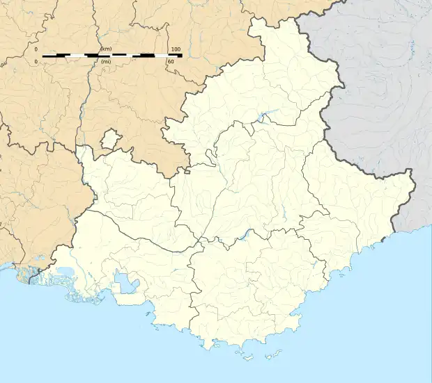 Forest-Saint-Julien | |
| Coordinates: 44°38′05″N 6°08′11″E / 44.6347°N 6.1364°E | |
| Country | France |
| Region | Provence-Alpes-Côte d'Azur |
| Department | Hautes-Alpes |
| Arrondissement | Gap |
| Canton | Saint-Bonnet-en-Champsaur |
| Intercommunality | Champsaur-Valgaudemar |
| Government | |
| • Mayor (2020–2026) | Fabrice Borel[1] |
Area 1 | 6.95 km2 (2.68 sq mi) |
| Population (2022)[2] | 344 |
| • Density | 49/km2 (130/sq mi) |
| Time zone | UTC+01:00 (CET) |
| • Summer (DST) | UTC+02:00 (CEST) |
| INSEE/Postal code | 05056 /05260 |
| Elevation | 1,015–1,631 m (3,330–5,351 ft) (avg. 1,200 m or 3,900 ft) |
| 1 French Land Register data, which excludes lakes, ponds, glaciers > 1 km2 (0.386 sq mi or 247 acres) and river estuaries. | |
Forest-Saint-Julien (French pronunciation: [fɔʁɛ sɛ̃ ʒyljɛ̃]; Vivaro-Alpine: Forest Sant Julian) is a commune of the Hautes-Alpes department in Southeastern France.
Population
| Year | Pop. | ±% p.a. |
|---|---|---|
| 1968 | 231 | — |
| 1975 | 197 | −2.25% |
| 1982 | 177 | −1.52% |
| 1990 | 178 | +0.07% |
| 1999 | 218 | +2.28% |
| 2007 | 270 | +2.71% |
| 2012 | 293 | +1.65% |
| 2017 | 328 | +2.28% |
| Source: INSEE[3] | ||
See also
References
- ^ "Répertoire national des élus: les maires". data.gouv.fr, Plateforme ouverte des données publiques françaises (in French). 2 December 2020.
- ^ "Populations de référence 2022" (in French). The National Institute of Statistics and Economic Studies. 19 December 2024.
- ^ Population en historique depuis 1968, INSEE
Wikimedia Commons has media related to Forest-Saint-Julien.