Rousset-Serre-Ponçon
Rousset-Serre-Ponçon | |
|---|---|
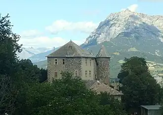 Chateau | |
 Coat of arms | |
Location of Rousset-Serre-Ponçon | |
 Rousset-Serre-Ponçon 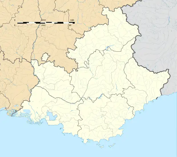 Rousset-Serre-Ponçon | |
| Coordinates: 44°28′02″N 6°14′06″E / 44.4672°N 6.235°E | |
| Country | France |
| Region | Provence-Alpes-Côte d'Azur |
| Department | Hautes-Alpes |
| Arrondissement | Gap |
| Canton | Chorges |
| Government | |
| • Mayor (2020–2026) | Catherine Saumont[1] |
Area 1 | 14.38 km2 (5.55 sq mi) |
| Population (2022)[2] | 168 |
| • Density | 12/km2 (30/sq mi) |
| Time zone | UTC+01:00 (CET) |
| • Summer (DST) | UTC+02:00 (CEST) |
| INSEE/Postal code | 05127 /05190 |
| Elevation | 650–1,500 m (2,130–4,920 ft) (avg. 1,040 m or 3,410 ft) |
| 1 French Land Register data, which excludes lakes, ponds, glaciers > 1 km2 (0.386 sq mi or 247 acres) and river estuaries. | |
Rousset-Serre-Ponçon (French pronunciation: [ʁusɛ]; Occitan: Rosset, before 2025: Rousset)[3] is a commune in the Hautes-Alpes department in southeastern France.
Population
| Year | Pop. | ±% |
|---|---|---|
| 1962 | 73 | — |
| 1968 | 174 | +138.4% |
| 1975 | 156 | −10.3% |
| 1982 | 127 | −18.6% |
| 1990 | 172 | +35.4% |
| 1999 | 176 | +2.3% |
| 2008 | 172 | −2.3% |
See also
References
- ^ "Répertoire national des élus: les maires" (in French). data.gouv.fr, Plateforme ouverte des données publiques françaises. 4 May 2022.
- ^ "Populations de référence 2022" (in French). The National Institute of Statistics and Economic Studies. 19 December 2024.
- ^ Décret n° 2024-863 du 8 août 2024 portant changement du nom de communes, Légifrance, retrieved 17 January 2025
Wikimedia Commons has media related to Rousset-Serre-Ponçon.