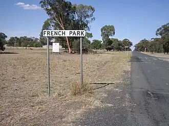
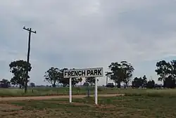
French Park, New South Wales
| French Park New South Wales | |
|---|---|
 Entering French Park | |
 French Park | |
| Coordinates | 35°16′S 146°56′E / 35.267°S 146.933°E |
| Population | 17 (SAL 2021)[1] |
| Postcode(s) | 2655 |
| Elevation | 128 m (420 ft) |
| Location |
|
| LGA(s) | Lockhart Shire |
| County | Mitchell |
| State electorate(s) | Wagga Wagga |
French Park is a rural village community in the central east part of the Riverina. It is situated by road, about 8 kilometres east of Milbrulong and 15 kilometres west of Tootool.
French Park Post Office opened on 16 August 1884 and closed in 1966.[2]
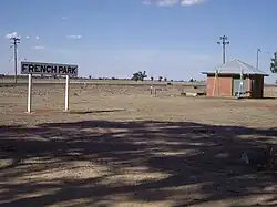
French Park railway station
| Preceding station | Former services | Following station | ||
|---|---|---|---|---|
| Milbrulong towards Oaklands
|
Oaklands Line | Tootool towards The Rock
| ||
Notes and references
- ^ Australian Bureau of Statistics (28 June 2022). "French Park (suburb and locality)". Australian Census 2021 QuickStats. Retrieved 28 June 2022.
- ^ Premier Postal History, Post Office List, retrieved 11 June 2009
Wikimedia Commons has media related to French Park, New South Wales.