Hartebeeskop
Hartebeeskop | |
|---|---|
| Etjelembube | |
 Hartebeeskop  Hartebeeskop | |
| Coordinates: 26°10′52″S 30°55′12″E / 26.181°S 30.920°E | |
| Country | South Africa |
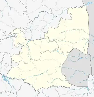
| Province | Mpumalanga |
| District | Gert Sibande |
| Municipality | Albert Luthuli |
| Area | |
• Total | 21.84 km2 (8.43 sq mi) |
| Population (2001)[1] | |
• Total | 2,289 |
| • Density | 100/km2 (270/sq mi) |
| Racial makeup (2001) | |
| • Black African | 100.0% |
| First languages (2001) | |
| • Swazi | 61.2% |
| • Zulu | 36.8% |
| • Xhosa | 0.9% |
| • Other | 1.1% |
| Time zone | UTC+2 (SAST) |
Hartebeeskop, officially Etjelembube is a town in Gert Sibande District Municipality in the Mpumalanga province of South Africa. It is situated close to the western border of eSwatini.
References
- ^ a b c d "Sub Place Hartebeeskop". Census 2001.
Municipalities and communities of Gert Sibande District Municipality, Mpumalanga | ||
|---|---|---|
District seat: Ermelo | ||
| Govan Mbeki | .svg.png) | |
| Albert Luthuli | ||
| Mkhondo | ||
| Msukaligwa | ||
| Lekwa | ||
| Pixley ka Seme | ||
| Dipaleseng | ||