Iswepe
Iswepe | |
|---|---|
 Iswepe  Iswepe | |
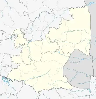
| Coordinates: 26°50′06″S 30°31′57″E / 26.83500°S 30.53250°E | |
| Country | South Africa |
| Province | Mpumalanga |
| District | Gert Sibande |
| Municipality | Mkhondo |
| Area | |
• Total | 2.93 km2 (1.13 sq mi) |
| Population (2011)[1] | |
• Total | 2,833 |
| • Density | 970/km2 (2,500/sq mi) |
| Racial makeup (2011) | |
| • Black African | 97.8% |
| • Coloured | 0.4% |
| • Indian/Asian | 0.7% |
| • White | 0.8% |
| • Other | 0.3% |
| First languages (2011) | |
| • Zulu | 92.3% |
| • S. Ndebele | 2.2% |
| • English | 2.0% |
| • Afrikaans | 1.2% |
| • Other | 2.3% |
| Time zone | UTC+2 (SAST) |
| PO box | 2382 |
Iswepe, officially Insephe,[2] is a village and railway siding in Gert Sibande District Municipality in the Mpumalanga province of South Africa.
References
- ^ a b c d "Main Place Iswepe". Census 2011.
- ^ "Publication of Official Geographical Names" (PDF). Government of South Africa. 17 December 2019. Archived from the original (PDF) on 1 January 2022. Retrieved 1 January 2022.
Municipalities and communities of Gert Sibande District Municipality, Mpumalanga | ||
|---|---|---|
District seat: Ermelo | ||
| Govan Mbeki | .svg.png) | |
| Albert Luthuli | ||
| Mkhondo | ||
| Msukaligwa | ||
| Lekwa | ||
| Pixley ka Seme | ||
| Dipaleseng | ||