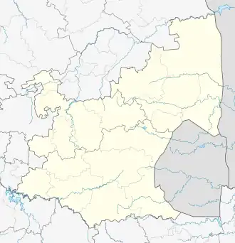
Leandra, South Africa
Leandra | |
|---|---|
| Thuli Fakude | |
 Leandra  Leandra | |
| Coordinates: 26°22′33″S 28°55′14″E / 26.37583°S 28.92056°E | |
| Country | South Africa |
| Province | Mpumalanga |
| District | Gert Sibande |
| Municipality | Govan Mbeki |
| Area | |
• Total | 9.63 km2 (3.72 sq mi) |
| Population (2011)[1] | |
• Total | 2,023 |
| • Density | 210/km2 (540/sq mi) |
| Racial makeup (2011) | |
| • Black African | 43.7% |
| • Coloured | 1.6% |
| • Indian/Asian | 10.8% |
| • White | 41.7% |
| • Other | 2.3% |
| First languages (2011) | |
| • Afrikaans | 39.0% |
| • Zulu | 23.9% |
| • English | 17.3% |
| • S. Ndebele | 5.7% |
| • Other | 14.2% |
| Time zone | UTC+2 (SAST) |
| Postal code (street) | 2265 |
| PO box | 2265 |
Leandra, officially Thuli Fakude,[2][3] is a town in Gert Sibande District Municipality in the Mpumalanga province of South Africa.
The town lies some 45 km east-south-east of Springs, comprising the former towns of Eendrag and Leslie. The name is a combination of Leslie and Eendrag.[4]
References
- ^ a b c d "Main Place Leandra". Census 2011.
- ^ Arts and Culture: Publication of official geographical names
- ^ "Minister Nathi Mthethwa on strides made in transforming South Africa's heritage landscape | South African Government". www.gov.za. Retrieved 4 October 2024.
- ^ "Dictionary of Southern African Place Names (Public Domain)". Human Science Research Council. p. 273.
.svg.png)