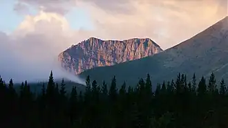
Mount Strachan
| Mount Strachan | |
|---|---|
 North aspect | |
| Highest point | |
| Elevation | 2,682 m (8,799 ft)[1][2] |
| Prominence | 272 m (892 ft)[3] |
| Parent peak | Mount Muir (2758 m)[3][2] |
| Listing | |
| Coordinates | 50°22′57″N 114°49′03″W / 50.3825°N 114.8175°W[4] |
| Geography | |
 Mount Strachan Location in Alberta  Mount Strachan Location in British Columbia 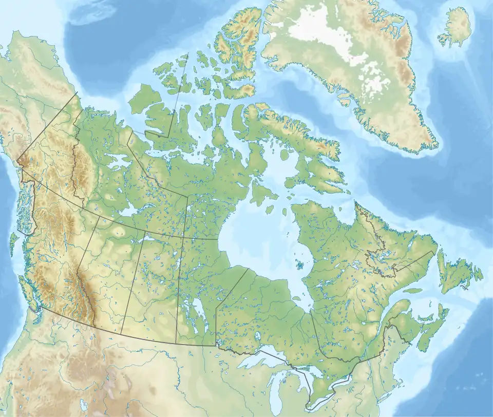 Mount Strachan Location in Canada | |
| Country | Canada |
| Provinces | Alberta and British Columbia |
| District | Kootenay Land District[5] |
| Parent range | High Rock Range Canadian Rockies[1][3] |
| Topo map | NTS 82J7 Mount Head[4] |
Mount Strachan is located North of Fording River Pass and straddles the Continental Divide marking the Alberta-British Columbia border.[5] It was named in 1918 after Lt. Henry Strachan, VC, a Scottish born Canadian army officer.[1][3] Lt. Strachan was awarded the Victoria Cross after leading his regiment through German lines in World War I, killing seven gunners of a machine gun battery with his own sword and returning safely with his men and 15 prisoners through enemy lines during the night.[5]
See also
References
- ^ a b c "Mount Strachan". cdnrockiesdatabases.ca. Retrieved 2023-12-23.
- ^ a b "Topographic map of Mount Strachan". opentopomap.org. Retrieved 2023-12-23.
- ^ a b c d "Mount Strachan". Bivouac.com. Retrieved 2023-12-23.
- ^ a b "Mount Strachan (Alberta)". Geographical Names Data Base. Natural Resources Canada. Retrieved 2023-12-22.
- ^ a b c "Mount Strachan". BC Geographical Names. Retrieved 2023-12-23.