Jabal Awliya
Jabal Awliya
جبل أولياء | |
|---|---|
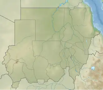 Jabal Awliya Location in Sudan and Africa 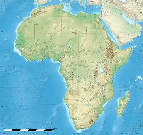 Jabal Awliya Jabal Awliya (Africa) | |
| Coordinates: 15°14′28″N 32°30′25″E / 15.24111°N 32.50694°E | |
| Country | |
| State | Khartoum |
| Time zone | UTC+02:00 (CAT) |
Jabal Awliya (Arabic: جبل أولياء, Jabal al Awliyā', Jebel Aulia, Gebel Aulia) is a village in the north-central part of Sudan,[1] about 40 km (25 mi) south of Khartoum. Nearby is the Jebel Aulia Dam, built in 1937 by the British for the Egyptian government. Jabal Awliya became a refuge camp during the Second Sudanese Civil War, housing more than 100,000 inhabitants.[2]
Jabal Awliya Airport
Jabal Awliya Airport | |||||||||||
|---|---|---|---|---|---|---|---|---|---|---|---|
| Summary | |||||||||||
| Airport type | Public / Military | ||||||||||
| Serves | Jabal Awliya | ||||||||||
| Elevation AMSL | 2,182 ft / 665 m | ||||||||||
| Map | |||||||||||
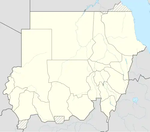 Jabal Awliya Airport Location of the airport in Sudan | |||||||||||
| Helipads | |||||||||||
| |||||||||||
The airport hosts Sudanese Air Force along with Sudanese Army and police.
The airport hosts three helicopter squadrons (Mil Mi-8, Mil Mi-17, Mil Mi-24, Mil Mi-35) from the base.[3] There is a short runway but only used as helipad with markings found midway.
On 26 February 1996, a C-130 transport plane of the Sudanese military crashed at Jabal Awliya, killing all 91 people on board.[4]
References
- ^ Clarence Lewis Barnhart, ed. (1954). The New Century cyclopedia of names. Vol. 2. Appleton-Century-Crofts. p. 1705.
- ^ "The March of the Green Flag". Spin. 11 (2): 78. May 1995. Retrieved 2011-03-29.
- ^ "Orbats".
- ^ The Associated Press (May 5, 1996). "Sudanese plane crashes; 53 die". Times Daily. Retrieved 2011-03-29.
Districts of Khartoum | |
|---|---|
| Old Khartoum |
|
| Eastern Khartoum |
|
| Southern Khartoum | |
| Jabal awlia |
|
| |