Kenana Airport
Kenana Airstrip | |||||||||||
|---|---|---|---|---|---|---|---|---|---|---|---|
| Summary | |||||||||||
| Airport type | Public / Military | ||||||||||
| Serves | Sifeiya, Kenana Sugar Co. | ||||||||||
| Elevation AMSL | 1,288 ft / 393 m | ||||||||||
| Coordinates | 13°03′15″N 32°54′25″E / 13.05417°N 32.90694°E | ||||||||||
| Map | |||||||||||
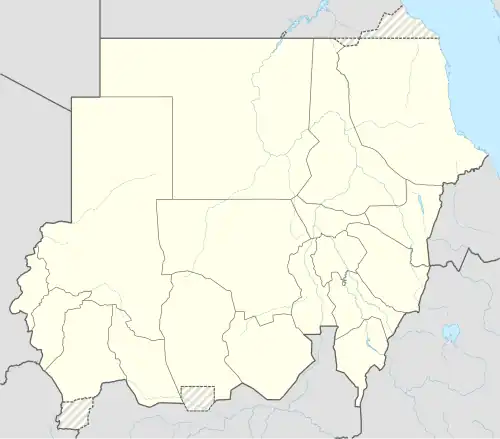 HSKN Location of the airport in Sudan | |||||||||||
| Runways | |||||||||||
| |||||||||||
Source: Google Maps[1] | |||||||||||
Kenana Airport (ICAO: HSKN) is an airstrip serving the production site of Kenana Sugar Company,[2] approximately 20 kilometres (12 mi) southeast of Rabak in Sudan.
The Kenana (KNA) VOR-DME[3][4] lies 1 mile (1.6 km) south, off the end of the runway.
Sifeiya[5] is the community surrounding the airport, and adjacent to the sugar plantation.
Kenana Air Base
The airport hosts two Sudanese Air Force units[6]
- Transport Training Squadron (Antonov An-2)
- Helicopter Training School (Mil Mi-2)
See also
References
- ^ Google Map - Kenana
- ^ KSC web site
- ^ "Kenana VOR-DME (KNA) @ OurAirports". ourairports.com. Retrieved 2018-08-26.
- ^ KNA
- ^ "Map of Sufeija - Michelin Sufeija map - ViaMichelin". www.viamichelin.com. Retrieved 2018-08-26.
- ^ "Orbats".