Kambalda Airport
Kambalda Airport | |||||||||||
|---|---|---|---|---|---|---|---|---|---|---|---|
| Summary | |||||||||||
| Owner | Shire of Coolgardie | ||||||||||
| Location | Kambalda, Western Australia | ||||||||||
| Elevation AMSL | 1,037 ft / 316 m | ||||||||||
| Coordinates | 31°11′24″S 121°35′54″E / 31.19000°S 121.59833°E | ||||||||||
| Map | |||||||||||
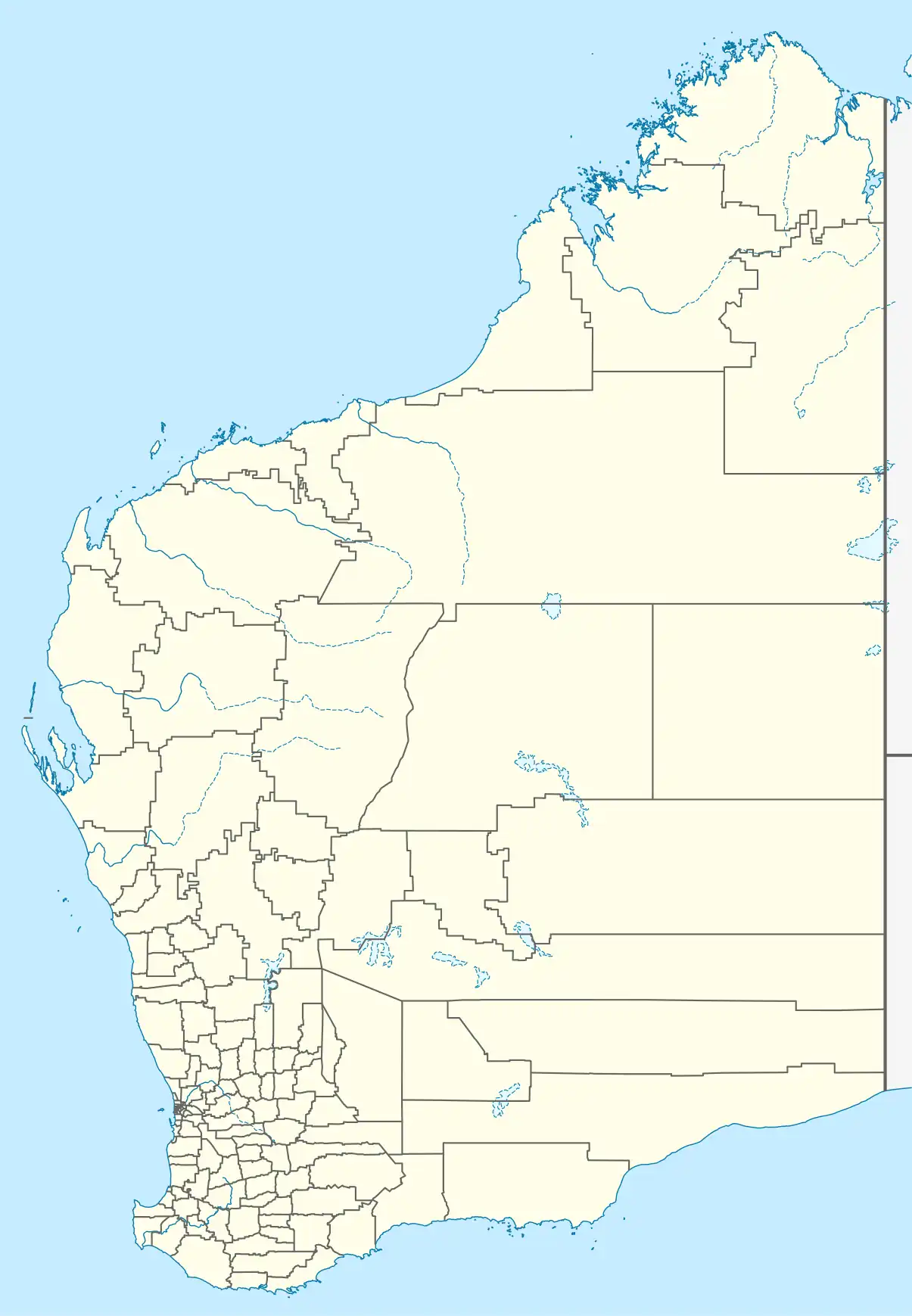 YKBL Location in Western Australia | |||||||||||
| Runways | |||||||||||
| |||||||||||
Kambalda Airport (IATA: KDB, ICAO: YKBL) serves St Ives Gold Mine. It is located eight kilometres north-west of Kambalda, Western Australia. It was mothballed in September 2015 after a slump in the resources sector.[2]
As at June 2024, Mineral Resources was negotiating with the Shire of Coolgardie for a 21 year lease on the airport with a commitment to upgrade the airport to accommodate Airbus A319 and A320s.[3] As at 2024, it is predominantly used by charter flight for fly-in fly-out mine workers. Flights are operated by Aerlink, National Jet Express and Skippers Aviation with ATR 72-500 and Dash 8s.[3]
References
- ^ YKBL – Kambalda (PDF). AIP En Route Supplement from Airservices Australia, effective 12 June 2025
- ^ Kambalda aerodrome back in service Kalgoorlie Miner 1 November 2020
- ^ a b Proposed Lease of Kambalda Airport to Mineral Resources Shire of Coolgardie June 2024
External links
- Airservices Aerodromes & Procedure Charts Archived 23 April 2022 at the Wayback Machine