Yam Island Airport
Yam Island Airport | |||||||||||
|---|---|---|---|---|---|---|---|---|---|---|---|
| Summary | |||||||||||
| Airport type | Private | ||||||||||
| Operator | Torres Strait Island Regional Council | ||||||||||
| Location | Yam Island, Queensland | ||||||||||
| Elevation AMSL | 15 ft / 5 m | ||||||||||
| Coordinates | 9°53′57″S 142°46′28″E / 9.8993°S 142.7745°E | ||||||||||
| Map | |||||||||||
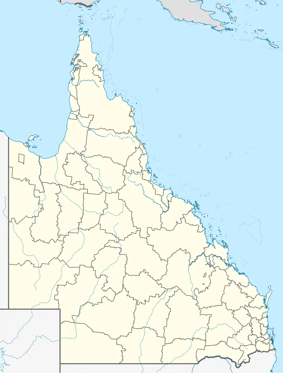 YYMI Location in Queensland | |||||||||||
| Runways | |||||||||||
| |||||||||||
Yam Island Airport (IATA: XMY, ICAO: YYMI) is an airport in Yam Island, Queensland, Australia.
Airlines and destinations
| Airlines | Destinations |
|---|---|
| Hinterland Aviation | Coconut Island, Horn Island, Warraber Island, Yorke Island |
| Skytrans Airlines | Coconut Island, Horn Island, Warraber Island, Yorke Island |
See also
References
- ^ YYMI – Yam Island (PDF). AIP En Route Supplement from Airservices Australia, effective 12 June 2025
- ^ Airport information for XMY / YYMI at Great Circle Mapper.
List of Torres Strait topics | |||||||||||||||||||
|---|---|---|---|---|---|---|---|---|---|---|---|---|---|---|---|---|---|---|---|
| Torres Strait Islands, islets, and cays |
| ||||||||||||||||||
| People, culture, communities and languages |
| ||||||||||||||||||
| Governance and legal matters |
| ||||||||||||||||||
| Buildings and structures | |||||||||||||||||||
| Other | |||||||||||||||||||