Kaoh Andaet District
Kaoh Andaet District
ស្រុកកោះអណ្តែត Koh Andet | |
|---|---|
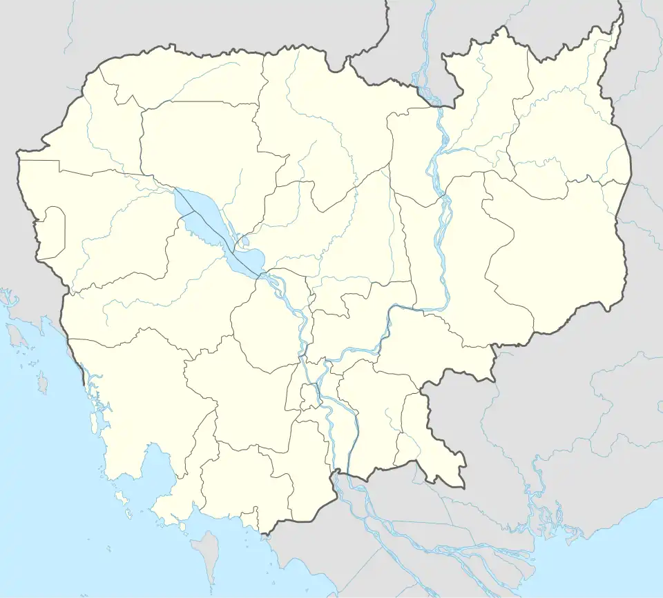 Kaoh Andaet District Location in Cambodia | |
| Coordinates: 10°47′53″N 104°57′11″E / 10.79806°N 104.95306°E | |
| Country | |
| Province | Takeo |
| Communes | 6 |
| Villages | 68 |
| Time zone | UTC+7 (ICT) |
| Geocode | 2105 |
Kaoh Andaet District (Khmer: ស្រុកកោះអណ្ដែត) is a district located in Takeo Province, in southern Cambodia. According to the 1998 census of Cambodia, it had a population of 45,650.[2]
Administration
As of 2019, Kaoh Andaet District has 6 communes, 68 villages.[3]
| No. | Code | Commune | Khmer | Number of Villages |
|---|---|---|---|---|
| 1 | 210501 | Krapum Chhuk | ឃុំក្រពុំឈូក | 13 |
| 2 | 210502 | Pech Sar | ឃុំពេជសារ | 17 |
| 3 | 210503 | Prey Khla | ឃុំព្រៃខ្លា | 15 |
| 4 | 210504 | Prey Yuthka | ឃុំព្រៃយុថ្កា | 6 |
| 5 | 210505 | Romenh | ឃុំរមេញ | 10 |
| 6 | 210506 | Thlea Prachum | ឃុំធ្លាប្រជុំ | 7 |
| Total | 68 | |||
References
- ^ General Population Census of Cambodia, 1998: Village Gazetteer. National Institute of Statistics. February 2000. pp. 239–240.
- ^ "General Population Census of Cambodia 1998, Final Census Results" (PDF). National Institute of Statistics, Ministry of Planning, Cambodia. August 2002. Archived from the original (PDF) on 2012-03-15. Retrieved 2010-11-25. See page 268.
- ^ "Cambodia Gazetteer Database Online". Cambodia NCDD Databases. National Committee for Sub-National Democratic Development (NCDD). 2019. Retrieved 2019-08-12.
Capital: Doun Kaev | ||
| Angkor Borei District |  | |
| Bati District | ||
| Bourei Cholsar District | ||
| Kiri Vong District | ||
| Prey Kabbas District | ||
| Samraŏng District | ||
| Doun Kaev Municipality | ||
| Tram Kak District | ||
| Treang District | ||
| Autonomous municipality |
| ||
|---|---|---|---|
| Provinces | |||