Longeville-lès-Saint-Avold
Longeville-lès-Saint-Avold | |
|---|---|
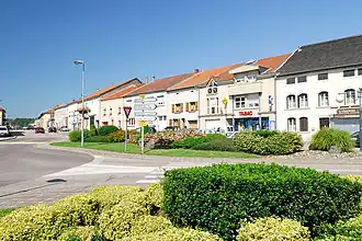 A street in Longeville-lès-Saint-Avold | |
.svg.png) Coat of arms | |
Location of Longeville-lès-Saint-Avold | |
 Longeville-lès-Saint-Avold  Longeville-lès-Saint-Avold | |
| Coordinates: 49°07′00″N 6°38′23″E / 49.1167°N 6.6397°E | |
| Country | France |
| Region | Grand Est |
| Department | Moselle |
| Arrondissement | Forbach-Boulay-Moselle |
| Canton | Faulquemont |
| Intercommunality | District Urbain de Faulquemont |
| Government | |
| • Mayor (2020–2026) | Emmanuel Thiry[1] |
Area 1 | 24.54 km2 (9.47 sq mi) |
| Population (2022)[2] | 3,592 |
| • Density | 150/km2 (380/sq mi) |
| Time zone | UTC+01:00 (CET) |
| • Summer (DST) | UTC+02:00 (CEST) |
| INSEE/Postal code | 57413 /57740 |
| Elevation | 228–411 m (748–1,348 ft) (avg. 410 m or 1,350 ft) |
| 1 French Land Register data, which excludes lakes, ponds, glaciers > 1 km2 (0.386 sq mi or 247 acres) and river estuaries. | |
Longeville-lès-Saint-Avold (French pronunciation: [lɔ̃ʒvil lɛ sɛ̃.t‿avɔld], literally Longeville near Saint-Avold; German: old: Lungenfeld, official: Lubeln 1870-1918, Langsdorf 1940-44) is a commune in the Moselle department in Grand Est in north-eastern France.
Population
| Year | Pop. | ±% p.a. |
|---|---|---|
| 1968 | 3,170 | — |
| 1975 | 3,372 | +0.89% |
| 1982 | 3,664 | +1.19% |
| 1990 | 3,690 | +0.09% |
| 1999 | 3,750 | +0.18% |
| 2007 | 3,760 | +0.03% |
| 2012 | 3,775 | +0.08% |
| 2017 | 3,666 | −0.58% |
| Source: INSEE[3] | ||
See also
References
- ^ "Répertoire national des élus: les maires". data.gouv.fr, Plateforme ouverte des données publiques françaises (in French). 2 December 2020.
- ^ "Populations de référence 2022" (in French). The National Institute of Statistics and Economic Studies. 19 December 2024.
- ^ Population en historique depuis 1968, INSEE
External links
 Media related to Longeville-lès-Saint-Avold at Wikimedia Commons