Krakow, Wisconsin
Krakow, Wisconsin | |
|---|---|
Census-designated place | |
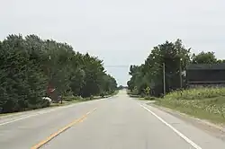 Downtown Krakow | |
 Krakow, Wisconsin | |
| Coordinates: 44°45′42″N 88°15′05″W / 44.76167°N 88.25139°W | |
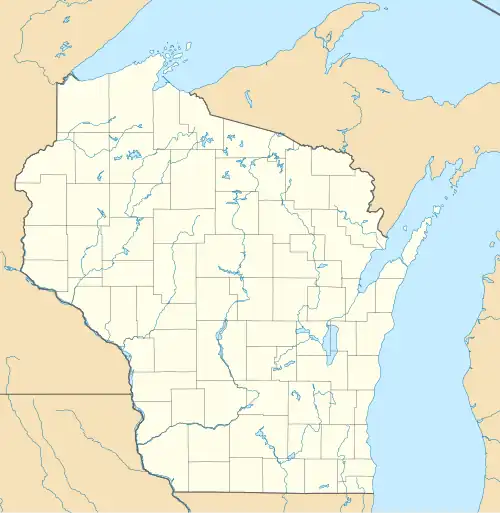
| Country | United States |
| State | Wisconsin |
| Counties | Oconto and Shawano |
| Area | |
• Total | 1.128 sq mi (2.92 km2) |
| • Land | 1.128 sq mi (2.92 km2) |
| • Water | 0 sq mi (0 km2) |
| Elevation | 778 ft (237 m) |
| Population | |
• Total | 378 |
| • Density | 340/sq mi (130/km2) |
| Time zone | UTC-6 (Central (CST)) |
| • Summer (DST) | UTC-5 (CDT) |
| ZIP code | 54137 |
| Area code | 920 |
| GNIS feature ID | 1565712[2] |
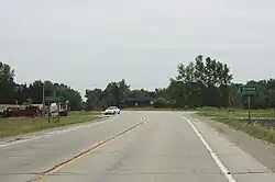
Krakow is an unincorporated community and census-designated place located primarily in Shawano County, Wisconsin, United States, with a small portion in Oconto County. Krakow is located on Wisconsin Highway 32 north of Pulaski, in the towns of Chase, and Angelica. Krakow has a post office with ZIP code 54137.[3] As of the 2020 census, its population is 378.
Krakow has a Catholic church and a tavern. In its heyday, it had a grocery store, a cheese factory, a pickle canning company, movie theaters, a few taverns, a parochial school, and a public school.
Demographics
| Census | Pop. | Note | %± |
|---|---|---|---|
| 2010 | 354 | — | |
| 2020 | 378 | 6.8% | |
| U.S. Decennial Census[4] | |||
References
- ^ "Census Bureau profile: Krakow CDP, Wisconsin". United States Census Bureau. May 2023. Retrieved May 10, 2025.
- ^ U.S. Geological Survey Geographic Names Information System: Krakow, Wisconsin
- ^ ZIP Code Lookup
- ^ "Decennial Census by Decade". United States Census Bureau. Retrieved May 10, 2025.
Municipalities and communities of Oconto County, Wisconsin, United States | ||
|---|---|---|
| Cities |  | |
| Villages | ||
| Towns | ||
| CDPs | ||
| Other communities | ||
| Indian reservation | ||
| Footnotes | ‡This populated place also has portions in an adjacent county or counties | |
Municipalities and communities of Shawano County, Wisconsin, United States | ||
|---|---|---|
| Cities | 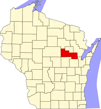 | |
| Villages | ||
| Towns | ||
| CDPs | ||
| Other communities | ||
| Indian reservations | ||
| Footnotes | ‡This populated place also has portions in an adjacent county or counties | |