Pella (CDP), Wisconsin
Pella, Wisconsin | |
|---|---|
 Looking west | |
 Pella, Wisconsin | |
| Coordinates: 44°44′33″N 88°48′12″W / 44.74250°N 88.80333°W | |
| Country | United States |
| State | Wisconsin |
| County | Shawano |
| Area | |
• Total | 1.719 sq mi (4.45 km2) |
| • Land | 1.544 sq mi (4.00 km2) |
| • Water | 0.175 sq mi (0.45 km2) |
| Elevation | 869 ft (265 m) |
| Population | |
• Total | 207 |
| • Density | 120/sq mi (46/km2) |
| Time zone | UTC-6 (Central (CST)) |
| • Summer (DST) | UTC-5 (CDT) |
| Area codes | 715 & 534 |
| GNIS feature ID | 1571159[2] |
Pella is a census-designated place in the town of Pella, Shawano County, Wisconsin, United States. Its population was 207 as of the 2020 census. Pella is located along the Embarrass River.
| Census | Pop. | Note | %± |
|---|---|---|---|
| 2010 | 185 | — | |
| 2020 | 207 | 11.9% | |
| U.S. Decennial Census[3] | |||
Images
-
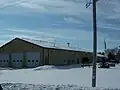 Pella fire department
 -
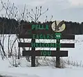 Welcome sign
References
Wikimedia Commons has media related to Pella, Wisconsin.
- ^ "Census Bureau profile: Pella CDP, Wisconsin". United States Census Bureau. May 2023. Retrieved May 10, 2025.
- ^ U.S. Geological Survey Geographic Names Information System: Pella (CDP), Wisconsin
- ^ "Decennial Census by Decade". United States Census Bureau. Retrieved May 10, 2025.
Municipalities and communities of Shawano County, Wisconsin, United States | ||
|---|---|---|
| Cities | 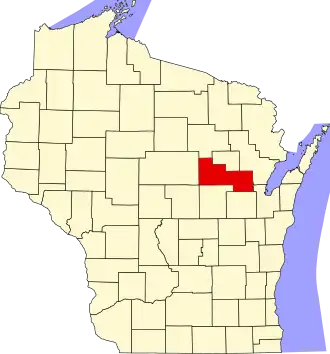 | |
| Villages | ||
| Towns | ||
| CDPs | ||
| Other communities | ||
| Indian reservations | ||
| Footnotes | ‡This populated place also has portions in an adjacent county or counties | |