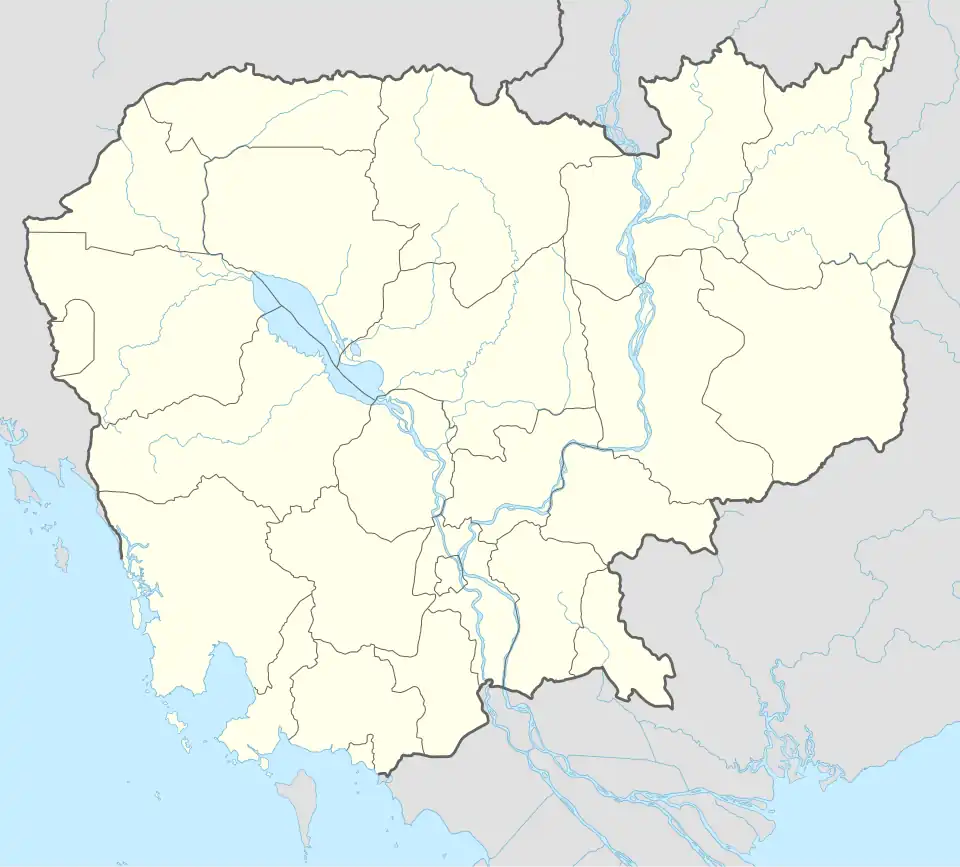
Kuleaen District
Kuleaen
គូលែន | |
|---|---|
 Kuleaen Location in Cambodia | |
| Coordinates: 13°47′09″N 104°36′38″E / 13.78597°N 104.61052°E | |
| Country | |
| Province | Preah Vihear |
| Communes | 6 |
| Villages | 23 |
| Population (2008)[1] | |
• Total | 24,824 |
| Time zone | +7 |
| Geocode | 1304 |
Kuleaen District is a district located in Preah Vihear Province, in northern Cambodia. According to the 1998 census of Cambodia, it had a population of 13,829.[2] The population recorded by the 2008 census was 24,824.[1]
Administration
The following table shows the villages of Kuleaen district by commune.
| Khum (Communes) | Phum (Villages) |
|---|---|
| Kuleaen Tboung | Kuleaen Tboung, Krabau |
| Kuleaen Cheung | Kuleaen Cheung, Pyuor Chruk |
| Thmei | Thnal Baek, Trav Kiet, Pongro, Dan, Damnak Kantuot |
| Phnum Penh | Pnov, Bos, Srabal |
| Phnum Tbaeng Pir | Chhuk, Sralay, Baribour, Kdak |
| Srayang | Srayang Cheung, Srayang Tboung, Kaoh Ker, Mrech, Rumchek, Sambour, Sna Pa'ek |
References
- ^ a b "2008 Census – Kuleaen District". opendevelopmentcambodia.net. Open Development Cambodia. Retrieved 19 May 2020.
- ^ "General Population Census of Cambodia 1998, Final Census Results" (PDF). National Institute of Statistics, Ministry of Planning, Cambodia. August 2002. p. 184. Retrieved 25 November 2010.
