Las Ánimas (volcano)
| Las Ánimas | |
|---|---|
| Volcán Las Ánimas | |
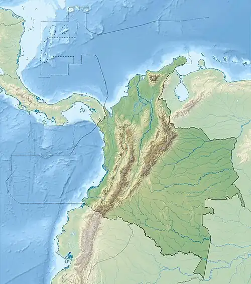 Las Ánimas Location of Las Ánimas in Colombia | |
| Highest point | |
| Elevation | 4,175 m (13,698 ft) |
| Listing | Volcanoes of Colombia |
| Coordinates | 1°33′50.4″N 76°51′15.7″W / 1.564000°N 76.854361°W |
| Geography | |
| Location | Cauca & Nariño |
| Parent range | Central Ranges, Andes |
| Geology | |
| Rock age | Plio-Pleistocene |
| Volcanic belt | North Volcanic Zone Andean Volcanic Belt |
| Last eruption | Prehistoric |
Las Ánimas is a volcano of the Central Ranges of the Colombian Andes at the border of the departments of Cauca and Nariño. The volcano is 4,175 metres (13,698 ft) high.[1]
As is the neighbouring Petacas, the volcano is part of the Doña Juana Volcanic Complex,[2] and lies northeast of the main Doña Juana volcano and southeast of Petacas.[3] The products of the volcanic activity of the volcano have been found in San Pablo, Nariño.[4] The activity of the volcano has been noted as prehistoric.[5]
The volcanoes are located between the El Tablón Fault to the west and the San Jerónimo Fault to the east.[6]
See also
References
- ^ Google Maps Elevation Finder
- ^ Núñez Tello, 2003, p.217
- ^ Plancha 411, 2002
Bibliography
- Navarro, Sofía; Pulgarín, Bernardo; Monsalve, Maria Luisa; Cortés, Gloria Patricia; Calvache, Marta Lucia; Pardo, Natalia; Murcia, Hugo (2009), "Geología e historia eruptiva del Complejo Volcánico Doña Juana (CVDJ) Nariño" (PDF), Boletín de Geología, 31: 109–118, retrieved 2017-09-24
- Núñez Tello, Alberto (2003), Cartografía geológica de las zonas Andina Sur y Garzón-Quetame (Colombia) - Memoria explicativa de las planchas 411 La Cruz, 412 San Juan de Villalobos, 430 Mocoa, 431 Piamonte, 448 Monopamba, 449 Orito y 465 Churuyaco, INGEOMINAS, pp. 1–298
Maps
- Núñez, Alberto; Gómez, Jorge (2002), Plancha 411 - La Cruz - 1:100,000, INGEOMINAS, p. 1, retrieved 2017-06-06
| Western Ranges | | |
|---|---|---|
| Central Ranges |
| |
| Eastern Ranges | ||
| Other | ||
| Source | ||