Le Castellet, Alpes-de-Haute-Provence
Le Castellet
Lo Castelet (Occitan) | |
|---|---|
.JPG) The village of Le Castellet | |
 Coat of arms | |
Location of Le Castellet | |
 Le Castellet 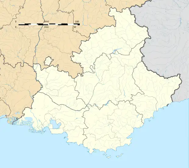 Le Castellet | |
| Coordinates: 43°56′22″N 5°58′51″E / 43.9394°N 5.9808°E | |
| Country | France |
| Region | Provence-Alpes-Côte d'Azur |
| Department | Alpes-de-Haute-Provence |
| Arrondissement | Forcalquier |
| Canton | Riez |
| Intercommunality | Durance-Luberon-Verdon Agglomération |
| Government | |
| • Mayor (2020–2026) | Benoît Gouin[1] |
Area 1 | 18.87 km2 (7.29 sq mi) |
| Population (2022)[2] | 300 |
| • Density | 16/km2 (41/sq mi) |
| Demonym | Castellians |
| Time zone | UTC+01:00 (CET) |
| • Summer (DST) | UTC+02:00 (CEST) |
| INSEE/Postal code | 04041 /04700 |
| Elevation | 362–665 m (1,188–2,182 ft) (avg. 480 m or 1,570 ft) |
| 1 French Land Register data, which excludes lakes, ponds, glaciers > 1 km2 (0.386 sq mi or 247 acres) and river estuaries. | |
Le Castellet (French pronunciation: [lə kastəlɛ]; Occitan: Lo Castelet) is a rural commune in the Alpes-de-Haute-Provence department in the Provence-Alpes-Côte d'Azur region in Southeastern France. It is located north of Valensole, east of the Valley of the Durance. In 2021 it had a population of 301.
Geography
The river Asse forms part of the commune's southern border.
Demographics
| Year | Pop. | ±% p.a. |
|---|---|---|
| 1968 | 125 | — |
| 1975 | 151 | +2.74% |
| 1982 | 186 | +3.02% |
| 1990 | 172 | −0.97% |
| 1999 | 202 | +1.80% |
| 2009 | 271 | +2.98% |
| 2014 | 294 | +1.64% |
| 2020 | 298 | +0.23% |
| Source: INSEE[3] | ||
See also
References
- ^ "Répertoire national des élus: les maires". data.gouv.fr, Plateforme ouverte des données publiques françaises (in French). 2 December 2020.
- ^ "Populations de référence 2022" (in French). The National Institute of Statistics and Economic Studies. 19 December 2024.
- ^ Population en historique depuis 1968, INSEE.
Wikimedia Commons has media related to Le Castellet, Alpes-de-Haute-Provence.