Lerrain
Lerrain | |
|---|---|
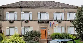 The town hall in Lerrain | |
Location of Lerrain | |
 Lerrain  Lerrain | |
| Coordinates: 48°08′37″N 6°08′55″E / 48.1436°N 6.1486°E | |
| Country | France |
| Region | Grand Est |
| Department | Vosges |
| Arrondissement | Neufchâteau |
| Canton | Darney |
| Intercommunality | CC Vosges côté Sud-Ouest |
| Government | |
| • Mayor (2020–2026) | Frédéric Balaud[1] |
Area 1 | 12.65 km2 (4.88 sq mi) |
| Population (2022)[2] | 456 |
| • Density | 36/km2 (93/sq mi) |
| Time zone | UTC+01:00 (CET) |
| • Summer (DST) | UTC+02:00 (CEST) |
| INSEE/Postal code | 88267 /88260 |
| Elevation | 300–381 m (984–1,250 ft) (avg. 317 m or 1,040 ft) |
| 1 French Land Register data, which excludes lakes, ponds, glaciers > 1 km2 (0.386 sq mi or 247 acres) and river estuaries. | |
Lerrain (French pronunciation: [lɛʁɛ̃] ⓘ) is a commune in the Vosges department in Grand Est in northeastern France.
Geography
The river Madon flows through the commune.
See also
References
- ^ "Répertoire national des élus: les maires" (in French). data.gouv.fr, Plateforme ouverte des données publiques françaises. 13 September 2022.
- ^ "Populations de référence 2022" (in French). The National Institute of Statistics and Economic Studies. 19 December 2024.
Wikimedia Commons has media related to Lerrain.