Rehaupal
Rehaupal | |
|---|---|
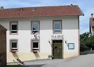 The town hall in Rehaupal | |
Location of Rehaupal | |
 Rehaupal  Rehaupal | |
| Coordinates: 48°07′13″N 6°43′58″E / 48.1203°N 6.7328°E | |
| Country | France |
| Region | Grand Est |
| Department | Vosges |
| Arrondissement | Saint-Dié-des-Vosges |
| Canton | Bruyères |
| Intercommunality | CC Gérardmer Hautes Vosges |
| Government | |
| • Mayor (2020–2026) | Éric Tisserant[1] |
Area 1 | 4.72 km2 (1.82 sq mi) |
| Population (2022)[2] | 208 |
| • Density | 44/km2 (110/sq mi) |
| Time zone | UTC+01:00 (CET) |
| • Summer (DST) | UTC+02:00 (CEST) |
| INSEE/Postal code | 88380 /88640 |
| Elevation | 474–763 m (1,555–2,503 ft) |
| 1 French Land Register data, which excludes lakes, ponds, glaciers > 1 km2 (0.386 sq mi or 247 acres) and river estuaries. | |
Rehaupal (French pronunciation: [ʁe.opal] ⓘ) is a commune in the Vosges department in Grand Est in northeastern France.
See also
References
- ^ "Répertoire national des élus: les maires" (in French). data.gouv.fr, Plateforme ouverte des données publiques françaises. 13 September 2022.
- ^ "Populations de référence 2022" (in French). The National Institute of Statistics and Economic Studies. 19 December 2024.
Wikimedia Commons has media related to Rehaupal.