Les Deux-Rives
Les Deux-Rives | |
|---|---|
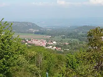 View of Chidrac from Lavelle | |
Location of Les Deux-Rives | |
 Les Deux-Rives  Les Deux-Rives | |
| Coordinates: 45°33′18″N 3°08′59″E / 45.555°N 3.1497°E | |
| Country | France |
| Region | Auvergne-Rhône-Alpes |
| Department | Puy-de-Dôme |
| Arrondissement | Issoire |
| Canton | Le Sancy |
| Intercommunality | Agglo Pays d'Issoire |
Area 1 | 5.11 km2 (1.97 sq mi) |
| Population (2022)[1] | 842 |
| • Density | 160/km2 (430/sq mi) |
| Time zone | UTC+01:00 (CET) |
| • Summer (DST) | UTC+02:00 (CEST) |
| INSEE/Postal code | 63109 /63320 |
| Elevation | 445–644 m (1,460–2,113 ft) |
| 1 French Land Register data, which excludes lakes, ponds, glaciers > 1 km2 (0.386 sq mi or 247 acres) and river estuaries. | |
Les Deux-Rives (French pronunciation: [le dø ʁiv], lit. 'The Two Banks') is a commune in the Puy-de-Dôme department in Auvergne-Rhône-Alpes in central France. It was formed on 1 January 2025, with the merger of Chidrac and Saint-Cirgues-sur-Couze.[2]
See also
References
- ^ "Populations de référence 2022" (in French). The National Institute of Statistics and Economic Studies. 19 December 2024.
- ^ Arrêté du 17 décembre 2024 portant création de la commune nouvelle de Les Deux-Rives, Légifrance, retrieved 16 January 2025