Lurcy-le-Bourg
Lurcy-le-Bourg | |
|---|---|
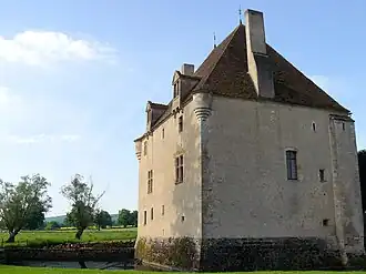 The Priory (Le Prieuré) in Lurcy-le-Bourg | |
Location of Lurcy-le-Bourg | |
 Lurcy-le-Bourg  Lurcy-le-Bourg | |
| Coordinates: 47°09′42″N 3°23′15″E / 47.1617°N 3.38750°E | |
| Country | France |
| Region | Bourgogne-Franche-Comté |
| Department | Nièvre |
| Arrondissement | Cosne-Cours-sur-Loire |
| Canton | La Charité-sur-Loire |
| Government | |
| • Mayor (2020–2026) | Michel Asconchilo[1] |
Area 1 | 22.58 km2 (8.72 sq mi) |
| Population (2022)[2] | 274 |
| • Density | 12/km2 (31/sq mi) |
| Time zone | UTC+01:00 (CET) |
| • Summer (DST) | UTC+02:00 (CEST) |
| INSEE/Postal code | 58147 /58700 |
| Elevation | 239–381 m (784–1,250 ft) |
| 1 French Land Register data, which excludes lakes, ponds, glaciers > 1 km2 (0.386 sq mi or 247 acres) and river estuaries. | |
Lurcy-le-Bourg (French pronunciation: [lyʁsi l(ə) buʁ]) is a rural commune in the Nièvre department in central France.[3]
History
On 19 July 1944 amid World War II, five Frenchmen were killed during an encounter between the French Resistance and the German occupying forces in Lurcy-le-Bourg.[4]
See also
References
- ^ "Répertoire national des élus: les maires". data.gouv.fr, Plateforme ouverte des données publiques françaises (in French). 2 December 2020.
- ^ "Populations de référence 2022" (in French). The National Institute of Statistics and Economic Studies. 19 December 2024.
- ^ Commune file, INSEE.
- ^ "Lurcy-le-Bourg (Nièvre) 19 juillet" (in French).
Une stèle commémorative a été érigée sur les lieux au bord de la D 38 à la mémoire des cinq victimes.
Wikimedia Commons has media related to Lurcy-le-Bourg.