Ville-Langy
Ville-Langy | |
|---|---|
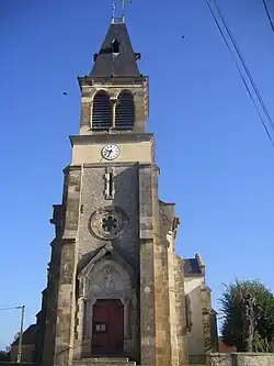 The church in Ville-Langy | |
Location of Ville-Langy | |
 Ville-Langy  Ville-Langy | |
| Coordinates: 46°56′40″N 3°30′00″E / 46.9444°N 3.50000°E | |
| Country | France |
| Region | Bourgogne-Franche-Comté |
| Department | Nièvre |
| Arrondissement | Nevers |
| Canton | Guérigny |
| Government | |
| • Mayor (2020–2026) | Jean Théry[1] |
Area 1 | 26.86 km2 (10.37 sq mi) |
| Population (2022)[2] | 237 |
| • Density | 8.8/km2 (23/sq mi) |
| Time zone | UTC+01:00 (CET) |
| • Summer (DST) | UTC+02:00 (CEST) |
| INSEE/Postal code | 58311 /58270 |
| Elevation | 203–286 m (666–938 ft) |
| 1 French Land Register data, which excludes lakes, ponds, glaciers > 1 km2 (0.386 sq mi or 247 acres) and river estuaries. | |
Ville-Langy is a commune in Nièvre, a department in central France.[3]
Demographics
| Year | Pop. | ±% p.a. |
|---|---|---|
| 1968 | 377 | — |
| 1975 | 314 | −2.58% |
| 1982 | 308 | −0.28% |
| 1990 | 308 | +0.00% |
| 1999 | 299 | −0.33% |
| 2007 | 287 | −0.51% |
| 2012 | 295 | +0.55% |
| 2017 | 252 | −3.10% |
| Source: INSEE[4] | ||
See also
References
- ^ "Répertoire national des élus: les maires". data.gouv.fr, Plateforme ouverte des données publiques françaises (in French). 2 December 2020.
- ^ "Populations de référence 2022" (in French). The National Institute of Statistics and Economic Studies. 19 December 2024.
- ^ INSEE commune file
- ^ Population en historique depuis 1968, INSEE
Wikimedia Commons has media related to Ville-Langy.