McDowell, Kentucky
McDowell, Kentucky | |
|---|---|
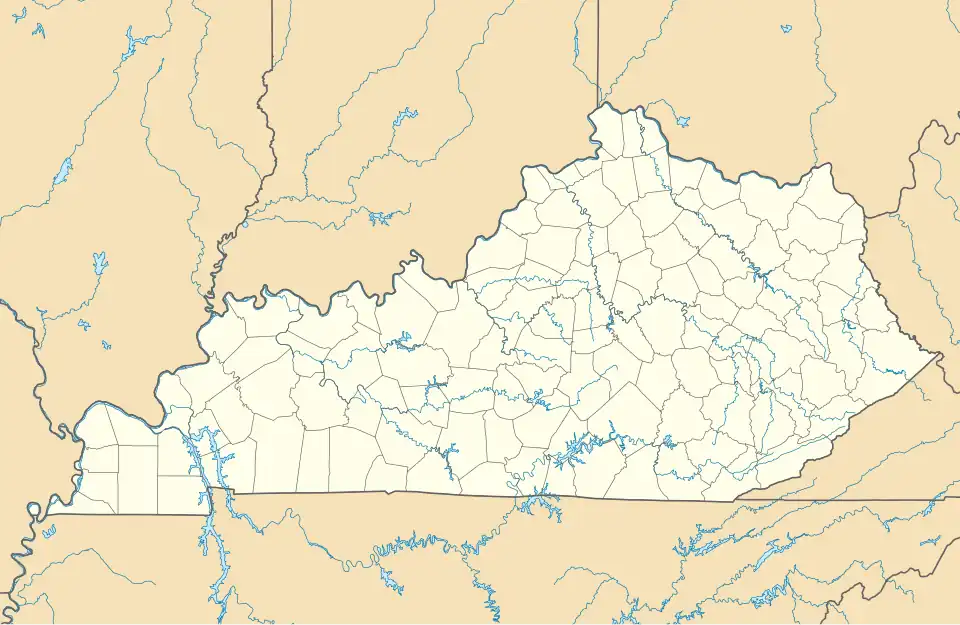 McDowell Location in Kentucky | |
| Coordinates: 37°27′32″N 82°44′03″W / 37.45889°N 82.73417°W | |
| Country | |
| State | |
| County | Floyd |
| Area | |
• Total | 2.48 sq mi (6.42 km2) |
| • Land | 2.48 sq mi (6.41 km2) |
| • Water | 0.00 sq mi (0.00 km2) |
| Elevation | 824 ft (251 m) |
| Population (2020) | |
• Total | 661 |
| • Density | 266.86/sq mi (103.05/km2) |
| Time zone | UTC-5 (Eastern (EST)) |
| • Summer (DST) | UTC-4 (EDT) |
| ZIP code | 41647 |
| FIPS code | 21-48954 |
| GNIS feature ID | 2629652[2] |
McDowell is an unincorporated community and census-designated place (CDP) in Floyd County, Kentucky, United States.[2]
Demographics
| Census | Pop. | Note | %± |
|---|---|---|---|
| 2020 | 661 | — | |
| U.S. Decennial Census[3] | |||
See also
References
- ^ "2020 U.S. Gazetteer Files". United States Census Bureau. Retrieved March 18, 2022.
- ^ a b c U.S. Geological Survey Geographic Names Information System: McDowell, Kentucky
- ^ "Census of Population and Housing". Census.gov. Retrieved June 4, 2016.
External links
![]() Media related to McDowell, Kentucky at Wikimedia Commons
Media related to McDowell, Kentucky at Wikimedia Commons
Municipalities and communities of Floyd County, Kentucky, United States | ||
|---|---|---|
| Cities | 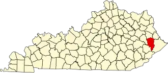 | |
| CDPs | ||
| Other unincorporated communities |
| |
| Footnotes | ‡This populated place also has portions in an adjacent county or counties. | |