Mount Little
| Mount Little | |
|---|---|
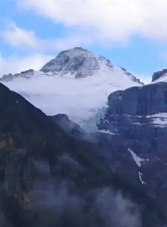 Mount Little and Fay Glacier | |
| Highest point | |
| Elevation | 3,134 m (10,282 ft)[1][a] |
| Prominence | 164 m (538 ft)[1] |
| Parent peak | Mount Fay (3234 m)[1] |
| Listing | |
| Coordinates | 51°17′45″N 116°10′58″W / 51.29583°N 116.18277°W[4][5] |
| Geography | |
 Mount Little Location in Alberta  Mount Little Location in British Columbia 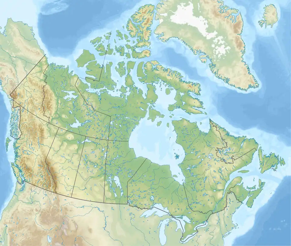 Mount Little Location in Canada | |
| Country | Canada |
| Provinces | Alberta and British Columbia |
| District | Kootenay Land District[6] |
| Protected areas | |
| Parent range | Bow Range[7] |
| Topo map | NTS 82N8 Lake Louise[4][5] |
| Climbing | |
| First ascent | 1901 G.T. Little, Charles S. Thompson, G.M. Weed, Christian Kaufmann[1][2] |
| Easiest route | North-West Ridge I |
Mount Little is situated at the northern end of Kootenay National Park, and straddles the Continental Divide marking the Alberta-British Columbia border.[6] It was named in 1916 after George F. Little, a member of the first ascent party.[2][1]
See also
References
- ^ a b c d e "Mount Little". Bivouac.com. Retrieved 2020-06-25.
- ^ a b c "Mount Little". cdnrockiesdatabases.ca. Retrieved 2020-06-25.
- ^ "Topographic map of Mount Little". opentopomap.org. Retrieved 2021-10-01.
- ^ a b "Mount Little (Alberta)". Geographical Names Data Base. Natural Resources Canada. Retrieved 2021-10-01.
- ^ a b "Mount Little (B.C.)". Geographical Names Data Base. Natural Resources Canada. Retrieved 2025-02-24.
- ^ a b "Mount Little". BC Geographical Names. Retrieved 2023-09-08.
- ^ NTS map sheet 82N08 Lake Louise
- Notes
Further reading
- Birrell, Dave (2000). 50 Roadside Panoramas in the Canadian Rockies. Rocky Mountain Books Ltd. p. 87. ISBN 9780921102656.