Mount Mangin
| Mount Mangin | |
|---|---|
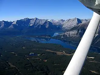 Mt. Mangin is right of centre | |
| Highest point | |
| Elevation | 3,057 m (10,030 ft)[1][2] |
| Prominence | 125 m (410 ft)[3] |
| Parent peak | Mount Joffre (3433 m)[3] |
| Listing | |
| Coordinates | 50°32′29″N 115°13′33″W / 50.54139°N 115.22583°W[4] |
| Geography | |
 Mount Mangin Location in Alberta  Mount Mangin Location in British Columbia 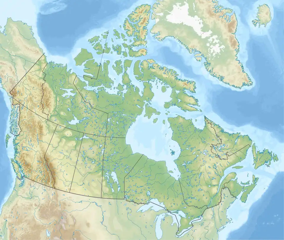 Mount Mangin Location in Canada | |
| Country | Canada |
| Provinces | Alberta and British Columbia |
| Parent range | Park Ranges |
| Topo map | NTS 82J11 Kananaskis Lakes[4][5] |
| Climbing | |
| First ascent | 1928 J.W.A. Hickson, Edward Fuez Jr.[3] |
Mount Mangin is located on the border of Alberta and British Columbia on the Continental Divide. It was named in 1918 after French general Charles Mangin.[1][3][4]
See also
References
- ^ a b "Mount Mangin". cdnrockiesdatabases.ca. Retrieved 2021-09-06.
- ^ "Topographic map of Mount Mangin". opentopomap.org. Retrieved 2021-09-06.
- ^ a b c d "Mount Mangin". Bivouac.com. Retrieved 2021-09-06.
- ^ a b c "Mount Mangin". BC Geographical Names. Retrieved 2021-09-06.
- ^ "Mount Mangin (Alberta)". Geographical Names Data Base. Natural Resources Canada. Retrieved 2024-10-31.