Mount Whiteaves
| Mount Whiteaves | |
|---|---|
 Mount Whiteaves Location in Alberta  Mount Whiteaves Location in British Columbia 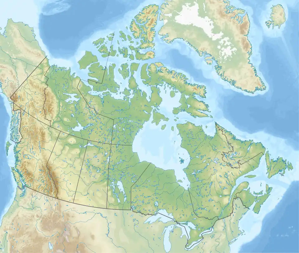 Mount Whiteaves Location in Canada | |
| Highest point | |
| Elevation | 3,145 m (10,318 ft)[1] |
| Prominence | 285 m (935 ft)[1] |
| Listing | |
| Coordinates | 51°43′27″N 116°47′56″W / 51.724167°N 116.798889°W[2] |
| Geography | |
| Country | Canada |
| Provinces | Alberta and British Columbia |
| Parent range | Park Ranges |
| Topo map | NTS 82N10 Blaeberry River[2] |
| Climbing | |
| First ascent | 1949 D. Greenwell, E.R. LaChapelle, D.M. Woods, J. Bishop[1][3] |
Mount Whiteaves is located west of the upper Blaeberry River and straddles the Continental Divide marking the Alberta-British Columbia border.[4] It was named in 1920 after Joseph Frederick Whiteaves, a British palaeontologist.[3][1]
See also
References
- ^ a b c d "Mount Whiteaves". Bivouac.com. Retrieved 2023-09-24.
- ^ a b "Mount Whiteaves (Alberta)". Geographical Names Data Base. Natural Resources Canada. Retrieved 2023-09-24.
- ^ a b "Mount Whiteaves". cdnrockiesdatabases.ca. Retrieved 2023-09-24.
- ^ "Mount Whiteaves". BC Geographical Names. Retrieved 2023-09-24.
External links
- "Topographic map of Mount Whiteaves". opentopomap.org. Retrieved 2023-09-24.