New Doornfontein
New Doornfontein | |
|---|---|
 New Doornfontein  New Doornfontein | |
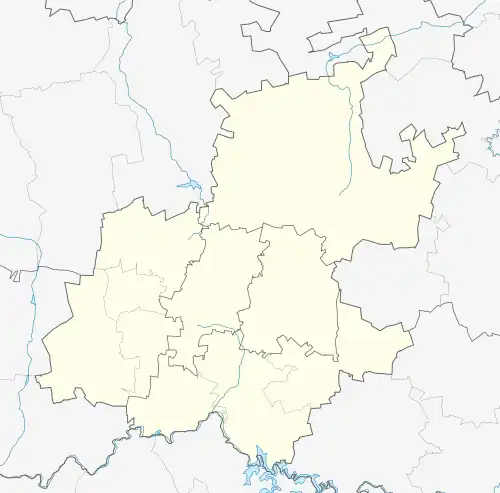
| Coordinates: 26°11′53″S 28°03′40″E / 26.198°S 28.061°E | |
| Country | South Africa |
| Province | Gauteng |
| Municipality | City of Johannesburg |
| Main Place | Johannesburg |
| Area | |
• Total | 0.89 km2 (0.34 sq mi) |
| Population (2011)[1] | |
• Total | 2,022 |
| • Density | 2,300/km2 (5,900/sq mi) |
| Racial makeup (2011) | |
| • Black African | 97.6% |
| • Coloured | 0.5% |
| • Indian/Asian | 1.8% |
| • White | 0.1% |
| First languages (2011) | |
| • Zulu | 26.7% |
| • English | 20.9% |
| • Xhosa | 13.3% |
| • Northern Sotho | 9.7% |
| • Other | 29.4% |
| Time zone | UTC+2 (SAST) |
| Postal code (street) | 2094 |
New Doornfontein (/ˈdʊərnfɒnteɪn/ DOORN-fon-tayn)[2] is a suburb of Johannesburg, South Africa. It is located in Region F of the City of Johannesburg Metropolitan Municipality.
References
- ^ a b c d "Sub Place New Doornfontein". Census 2011.
- ^ BREAKING NEWS: Teargas fired as students clash with police at UJ Doornfontein - YouTube. 12 May 2020. Event occurs at 0:11. Retrieved 17 October 2024.