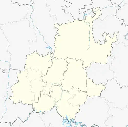
Ruiterhof is a suburb of Johannesburg, South Africa. It is located in Region B of the City of Johannesburg Metropolitan Municipality.
References
|
|---|
|
|
Cityscape |
|---|
| Landmarks | | Public art |
|
|---|
Civic
buildings | |
|---|
Office
buildings |
|
|---|
Residential
buildings |
|
|---|
| Structures | |
|---|
|
|---|
| Urban planning | |
|---|
| Heritage conservation | |
|---|
|
|
|
Politics |
|---|
| Governing parties | |
|---|
Political organisations
and parties based in
Greater Johannesburg | | Political parties | |
|---|
| Trade unions | |
|---|
Other political
organisations | |
|---|
|
|---|
|
|
|
|---|
| Fortifications | |
|---|
Monuments
and memorials | |
|---|
| Cemeteries | |
|---|
Historical
sites |
|
|---|
Historical
companies and
organisations | | Companies | |
|---|
Political
organisations | |
|---|
| Other organisations | |
|---|
|
|---|
| Events | |
|---|
|
|
|
|---|
| Cultural heritage | |
|---|
| Performance art | | Musical ensembles | |
|---|
| Theatres | |
|---|
|
|---|
| Events and festivals | |
|---|
Museums and art
galleries |
|
|---|
| Clubs and societies | |
|---|
|
|
Religion |
|---|
- SACC
- Anglican
- Catholic
- Protestant
- Jewish
- Islamic
Places of
worship | | Churches | |
|---|
| Synagogues | |
|---|
| Mosques | |
|---|
| Hindu temples | |
|---|
| Scientology centres | |
|---|
|
|---|
|
|
Media |
|---|
| Mass media | | Magazines |
|
|---|
| Newspapers |
|
|---|
| Radio stations | |
|---|
| Television channels |
|
|---|
| Film studios |
|
|---|
| Record labels | |
|---|
| Game studios | |
|---|
|
|---|
| Cultural references | |
|---|
|
|
|
|---|
| Companies | |
|---|
Diversified
conglomerates | |
|---|
| Airlines |
|
|---|
Construction
and engineering | |
|---|
| Energy | |
|---|
Financial
|
|
|---|
| Hospitality | |
|---|
| ICT | |
|---|
| Legal | |
|---|
| Manufacturing | |
|---|
| Media | |
|---|
| Mining | |
|---|
Retail and
marketing | |
|---|
Restaurant
franchises | |
|---|
| Services | |
|---|
| Transport | |
|---|
State-owned
enterprises | |
|---|
 Companies based in Ekurhuleni Companies based in Ekurhuleni- Companies based in Johannesburg
|
|
|---|
Professional
associations | |
|---|
| Mining |
|
|---|
| Shopping centres | |
|---|
| Hotels and resorts | |
|---|
| Venues | |
|---|
Restaurants, bars,
clubs and cafés | |
|---|
| Tourism |
|
|---|
|
|
|
|
|---|
Sports governing
bodies based in
Greater Johannesburg | |
|---|
| Teams | | Soccer |
|
|---|
| Rugby | |
|---|
| Cricket | |
|---|
| Basketball | |
|---|
|
|---|
| Equestrian sports | |
|---|
| Sports events | |
|---|
| Sports venues | Stadia and
arenas |
|
|---|
| Golf courses | |
|---|
Equestrian
venues | |
|---|
Motorsports
venues |
|
|---|
|
|---|
|
|
|
|---|
| Libraries | |
|---|
| Universities | |
|---|
Other tertiary
institutions | | Business schools | |
|---|
| Religious institutions | |
|---|
|
|---|
| State schools | |
|---|
| Private schools | |
|---|
| Alternative schools | |
|---|
| International schools | |
|---|
|
|
Services |
|---|
| Hospitals |
|
|---|
Water supply
and sanitation |
|
|---|
| Electricity supply |
|
|---|
Law enforcement and
emergency services | |
|---|
| Charities and NGOs | |
|---|
|
|
Military units and formations |
|---|
|
|
- Category
- Johannesburg
|