Oberholzer
Oberholzer
Pretoriusrus | |
|---|---|
 Oberholzer  Oberholzer | |
| Coordinates: 26°20′49″S 27°22′55″E / 26.347°S 27.382°E | |
| Country | South Africa |
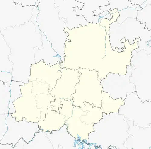
| Province | Gauteng |
| District | West Rand |
| Municipality | Merafong City |
| Area | |
• Total | 4.12 km2 (1.59 sq mi) |
| Population (2011)[1] | |
• Total | 5,397 |
| • Density | 1,300/km2 (3,400/sq mi) |
| Racial makeup (2011) | |
| • Black African | 35.8% |
| • Coloured | 1.2% |
| • Indian/Asian | 0.9% |
| • White | 61.7% |
| • Other | 0.4% |
| First languages (2011) | |
| • Afrikaans | 55.4% |
| • Tswana | 12.3% |
| • English | 10.8% |
| • Sotho | 8.6% |
| • Other | 12.9% |
| Time zone | UTC+2 (SAST) |
| Postal code (street) | 2499 |
| PO box | 2502 |
Oberholzer is a town in West Rand District Municipality in the Gauteng province of South Africa. The town is 85 km south-west of Johannesburg, just north-west of Carletonville.
History
Laid out on the farm Wonderfontein, it was proclaimed in March 1939 and named after the owner of the farm, Hendrik Oberholzer.[2]
The town of Oberholzer is situated in the constituency of Carletonville & there are no distinct boundaries separating Oberholzer from Carletonville. Together, they make one city.[3]
References
- ^ a b c d "Main Place Oberholzer". Census 2011.
- ^ "Dictionary of Southern African Place Names (Public Domain)". Human Science Research Council. p. 346.
- ^ http://www.merafong.gov.za/datafiles/pdf/MSDF%25202016-21%2520Annexure%2520C%2520Local%2520Spatial%2520Development%2520Directives.pdf&ved=2ahUKEwi07aGhi6bnAhWiQEEAHcMOBe0QFjATegQIAxAB&usg=AOvVaw2P-u6o9TVMF-zXSCus4q7v
Municipalities and communities of West Rand District Municipality, Gauteng | ||
|---|---|---|
District seat: Randfontein | ||
| Mogale City | .svg.png) | |
| Merafong City | ||
| Rand West City | ||