Gnayiru
Gnayiru | |
|---|---|
Suburb | |
 Gnayiru 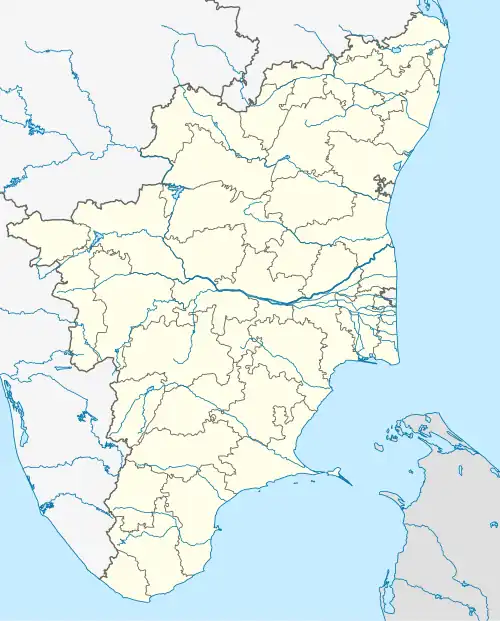 Gnayiru  Gnayiru | |
| Coordinates: 13°15′22″N 80°12′16″E / 13.256050°N 80.204330°E | |
| Country | |
| State | |
| District | Tiruvallur |
| Taluk | Ponneri |
| Metro | Chennai |
| Elevation | 15 m (49 ft) |
| Population | |
• Total | 4,516[1] |
| Languages | |
| • Official | Tamil |
| Time zone | UTC+5:30 (IST) |
| PIN | 600067 |
| Telephone code | 044-xxxx |
| Vehicle registration | TN-18-xxxx & TN-20-xxxx(old) |
| Planning agency | CMDA |
| City | Chennai |
| Lok Sabha constituency | Thiruvallur |
| Vidhan Sabha constituency | Ponneri |
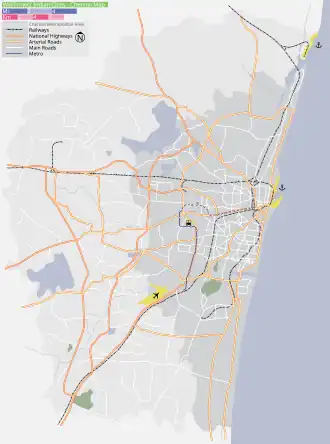
Gnayiru, is a neighborhood in Chennai, Tiruvallur district,[2][3] located North of Chennai, a metropolitan city in Tamil Nadu, India.
Gnayiru has a historical Hindu temple viz., Pushparatheswarar temple,[4][5] which is under the control of Hindu Religious and Charitable Endowments Department, Government of Tamil Nadu.
References
- ^ "Census of India: Nayur". www.censusindia.gov.in. Office of the Registrar General & Census Commissioner, India. Retrieved 4 October 2020.
- ^ Manigandan K T. "HT Temple SPL: ஞாயிற்றுக்கிழமை 'ஞாயிறு' செல்வோம்-சூரிய பகவான் வழிபட்ட திருத்தலம்!". Tamil Hindustan Times (in Tamil). Retrieved 4 July 2023.
- ^ "வாழ்வில் இழந்ததை எல்லாம் மீண்டும் தரும் சூர்ய ஸ்தலம் - www.patrikai.com". 21 May 2018. Retrieved 4 July 2023.
- ^ "Arulmigu Pushparatheshwarar Temple, Gnayiru - 601204, Tiruvallur District [TM001581]". hrce.tn.gov.in. Retrieved 4 July 2023.
- ^ "Pushparadeswarar Temple : Pushparadeswarar Pushparadeswarar Temple Details". Dinamalar. Retrieved 4 July 2023.
External links
- CMDA Official Webpage Archived 8 October 2021 at the Wayback Machine
Geographic Location | ||||||||||||||||
|---|---|---|---|---|---|---|---|---|---|---|---|---|---|---|---|---|
| ||||||||||||||||
Areas of Chennai | |
|---|---|
| North |
|
| West |
|
| Central |
|
| South |
|
| District headquarters | 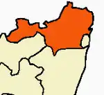 | |
|---|---|---|
| Country | ||
| State | ||
| Region | ||
| Revenue divisions | ||
| Taluks | ||
| Revenue blocks | ||
| Municipal corporations | ||
| Municipalities | ||
| Special grade town panchayats | ||
| Town panchayats | ||
| History | ||
| Places of interest |
| |
| Universities |
| |