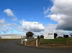
Yarrawonga Airport
Yarrawonga Airport | |||||||||||
|---|---|---|---|---|---|---|---|---|---|---|---|
 | |||||||||||
| Summary | |||||||||||
| Airport type | Public | ||||||||||
| Operator | Moira Shire Council | ||||||||||
| Location | Yarrawonga, Victoria | ||||||||||
| Elevation AMSL | 424 ft / 129 m | ||||||||||
| Coordinates | 36°01′50″S 146°01′40″E / 36.03056°S 146.02778°E | ||||||||||
| Map | |||||||||||
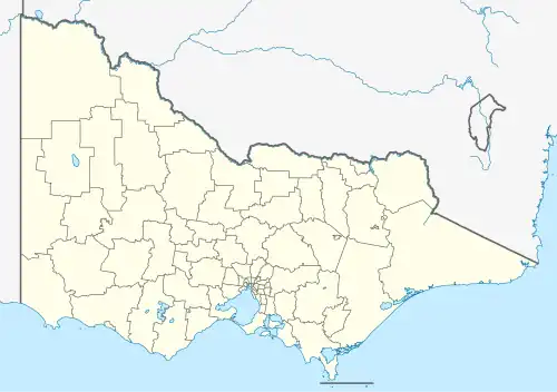 YYWG Location in Victoria | |||||||||||
| Runways | |||||||||||
| |||||||||||
Yarrawonga Airport (ICAO: YYWG) is located 2 nautical miles (3.7 km; 2.3 mi) south-east[1] of the town of Yarrawonga, Victoria on the border with New South Wales, Australia.
See also
References
- ^ a b YYWG – Yarrawonga (PDF). AIP En Route Supplement from Airservices Australia, effective 12 June 2025, Aeronautical Chart