Aujargues
Aujargues | |
|---|---|
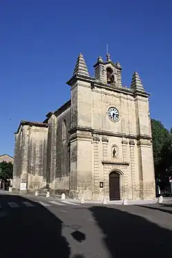 The church in Aujargues | |
|
Coat of arms | |
Location of Aujargues | |
 Aujargues  Aujargues | |
| Coordinates: 43°47′26″N 4°07′25″E / 43.7906°N 4.1236°E | |
| Country | France |
| Region | Occitania |
| Department | Gard |
| Arrondissement | Nîmes |
| Canton | Calvisson |
| Intercommunality | CC Pays de Sommières |
| Government | |
| • Mayor (2020–2026) | Bernard Chluda[1] |
Area 1 | 6.85 km2 (2.64 sq mi) |
| Population (2022)[2] | 769 |
| • Density | 110/km2 (290/sq mi) |
| Time zone | UTC+01:00 (CET) |
| • Summer (DST) | UTC+02:00 (CEST) |
| INSEE/Postal code | 30023 /30250 |
| Elevation | 50–143 m (164–469 ft) (avg. 70 m or 230 ft) |
| 1 French Land Register data, which excludes lakes, ponds, glaciers > 1 km2 (0.386 sq mi or 247 acres) and river estuaries. | |
Aujargues (French pronunciation: [oʒaʁɡ]; Occitan: Oiargues) is a commune in the Gard department in southern France.
Population
| Year | Pop. | ±% |
|---|---|---|
| 1962 | 223 | — |
| 1968 | 232 | +4.0% |
| 1975 | 295 | +27.2% |
| 1982 | 366 | +24.1% |
| 1990 | 469 | +28.1% |
| 1999 | 673 | +43.5% |
| 2008 | 822 | +22.1% |
| 2015 | 872 | +6.1% |
See also
References
- ^ "Répertoire national des élus: les maires". data.gouv.fr, Plateforme ouverte des données publiques françaises (in French). 2 December 2020.
- ^ "Populations de référence 2022" (in French). The National Institute of Statistics and Economic Studies. 19 December 2024.
Wikimedia Commons has media related to Aujargues.