Combas
Combas | |
|---|---|
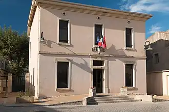 The town hall of Combas | |
.svg.png) Coat of arms | |
Location of Combas | |
 Combas  Combas | |
| Coordinates: 43°51′00″N 4°06′50″E / 43.85°N 4.1138°E | |
| Country | France |
| Region | Occitania |
| Department | Gard |
| Arrondissement | Nîmes |
| Canton | Calvisson |
| Intercommunality | Pays de Sommières |
| Government | |
| • Mayor (2020–2026) | Michel Debouverie[1] |
Area 1 | 16.04 km2 (6.19 sq mi) |
| Population (2022)[2] | 762 |
| • Density | 48/km2 (120/sq mi) |
| Time zone | UTC+01:00 (CET) |
| • Summer (DST) | UTC+02:00 (CEST) |
| INSEE/Postal code | 30088 /30250 |
| Elevation | 55–274 m (180–899 ft) (avg. 103 m or 338 ft) |
| 1 French Land Register data, which excludes lakes, ponds, glaciers > 1 km2 (0.386 sq mi or 247 acres) and river estuaries. | |
Combas is a commune in the Gard department in southern France.
Population
| Year | Pop. | ±% |
|---|---|---|
| 1962 | 258 | — |
| 1968 | 287 | +11.2% |
| 1975 | 313 | +9.1% |
| 1982 | 357 | +14.1% |
| 1990 | 381 | +6.7% |
| 1999 | 433 | +13.6% |
| 2008 | 546 | +26.1% |
See also
References
- ^ "Répertoire national des élus: les maires". data.gouv.fr, Plateforme ouverte des données publiques françaises (in French). 9 August 2021.
- ^ "Populations de référence 2022" (in French). The National Institute of Statistics and Economic Studies. 19 December 2024.
Wikimedia Commons has media related to Combas.