Beluvai
Beluvai
Homalke | |
|---|---|
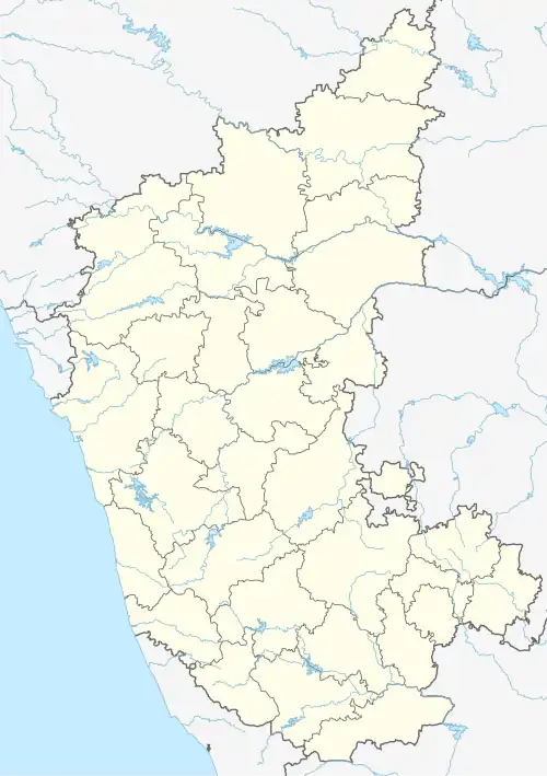 Beluvai Location in Karnataka, India  Beluvai Beluvai (India) | |
| Coordinates: 12°58′38″N 74°59′49″E / 12.977210°N 74.996947°E | |
| Country | |
| State | Karnataka |
| District | Dakshina Kannada |
| Talukas | Moodabidri |
| Government | |
| • Body | Gram panchayat |
| Population (2011) | |
• Total | 10,220 |
| Languages | |
| • Official | Kannada, Tulu |
| Time zone | UTC+5:30 (IST) |
| ISO 3166 code | IN-KA |
| Vehicle registration | KA 19 |
| Website | karnataka |
Beluvai is a village in the southern state of Karnataka, India.[1][2] It is located in the Moodabidri taluk of Dakshina Kannada district. It is located around 42 km north-east of Mangalore city.
Demographics
As of 2011 India census, Beluvai had a population of 10,220 with 5,042 males and 5,178 females. Beluvai village has higher literacy rate compared to Karnataka. In 2011, literacy rate of Beluvai village was 89.09 % compared to 75.36 % of Karnataka. In Beluvai Male literacy stands at 92.57 % while female literacy rate was 85.73 %.[1]
See also
References
- ^ a b Village code= 2694500 "Census of India : Villages with population 5000 & above". Registrar General & Census Commissioner, India. Archived from the original on 8 December 2008. Retrieved 18 December 2008.
- ^ "Yahoomaps India :". Archived from the original on 18 December 2008. Retrieved 18 December 2008. Beluvai, Dakshina Kannada, Karnataka
External links
District HQ: Dakshina Kannada | |
| Villages and Towns |
|