Harekala
Harekala | |
|---|---|
village | |
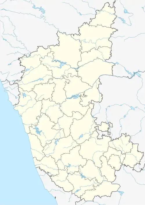 Harekala Location in Karnataka, India  Harekala Harekala (India) | |
| Coordinates: 12°52′N 74°50′E / 12.87°N 74.84°E | |
| Country | |
| State | Karnataka |
| District | Dakshina Kannada |
| Talukas | Mangalore |
| Government | |
| • Body | Gram panchayat |
| Population (2001) | |
• Total | 6,207 |
| Languages | |
| • Official | Kannada |
| Time zone | UTC+5:30 (IST) |
| ISO 3166 code | IN-KA |
| Vehicle registration | KA |
| Website | karnataka |
Harekala is a village in the southern state of Karnataka, India.[1][2] It is located in the Mangalore taluk of Dakshina Kannada district.
Demographics
As of 2001 India census, Harekala had a population of 6,207 with 3,045 males and 3,162 females.[1]
Geography
Harekala is on the south side of the Netravati River, opposite Adyar. It is connected to the north bank by the 520m Harekala-Adyar dam and road bridge since it was completed in April 2023.[3]
See also
References
- ^ a b Village code= 2698800 "Census of India : Villages with population 5000 & above". Registrar General & Census Commissioner, India. Retrieved 18 December 2008.
- ^ "Yahoomaps India :". Retrieved 18 December 2008. Harekala, Dakshina Kannada, Karnataka
- ^ "With Harekala-Adyar dam-cum-bridge complete, people demand its opening". The Hindu. Retrieved 6 January 2024.
External links
District HQ: Dakshina Kannada | |
| Villages and Towns |
|