Courpignac
Courpignac | |
|---|---|
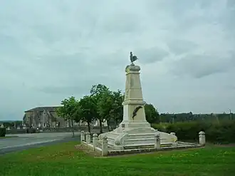 War memorial | |
Location of Courpignac | |
 Courpignac  Courpignac | |
| Coordinates: 45°19′42″N 0°29′09″W / 45.3283°N 0.4858°W | |
| Country | France |
| Region | Nouvelle-Aquitaine |
| Department | Charente-Maritime |
| Arrondissement | Jonzac |
| Canton | Pons |
| Government | |
| • Mayor (2020–2026) | Eliane Marsaud[1] |
Area 1 | 14.97 km2 (5.78 sq mi) |
| Population (2022)[2] | 413 |
| • Density | 28/km2 (71/sq mi) |
| Time zone | UTC+01:00 (CET) |
| • Summer (DST) | UTC+02:00 (CEST) |
| INSEE/Postal code | 17129 /17130 |
| Elevation | 18–96 m (59–315 ft) |
| 1 French Land Register data, which excludes lakes, ponds, glaciers > 1 km2 (0.386 sq mi or 247 acres) and river estuaries. | |
Courpignac (French pronunciation: [kuʁpiɲak]) is a commune in the Charente-Maritime department in the Nouvelle-Aquitaine region in southwestern France.[3]
Population
| Year | Pop. | ±% p.a. |
|---|---|---|
| 1968 | 396 | — |
| 1975 | 347 | −1.87% |
| 1982 | 339 | −0.33% |
| 1990 | 341 | +0.07% |
| 1999 | 359 | +0.57% |
| 2007 | 403 | +1.46% |
| 2012 | 413 | +0.49% |
| 2017 | 412 | −0.05% |
| Source: INSEE[4] | ||
See also
References
- ^ "Répertoire national des élus: les maires". data.gouv.fr, Plateforme ouverte des données publiques françaises (in French). 9 August 2021.
- ^ "Populations de référence 2022" (in French). The National Institute of Statistics and Economic Studies. 19 December 2024.
- ^ Commune de Courpignac (17129)
- ^ Population en historique depuis 1968, INSEE
External links
 Media related to Courpignac at Wikimedia Commons