Donnement
Donnement | |
|---|---|
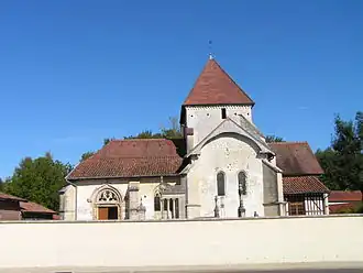 The church in Donnement | |
Location of Donnement | |
 Donnement  Donnement | |
| Coordinates: 48°30′46″N 4°26′13″E / 48.5128°N 4.4369°E | |
| Country | France |
| Region | Grand Est |
| Department | Aube |
| Arrondissement | Bar-sur-Aube |
| Canton | Brienne-le-Château |
| Government | |
| • Mayor (2020–2026) | Thérèse Lens[1] |
Area 1 | 11.24 km2 (4.34 sq mi) |
| Population (2022)[2] | 73 |
| • Density | 6.5/km2 (17/sq mi) |
| Time zone | UTC+01:00 (CET) |
| • Summer (DST) | UTC+02:00 (CEST) |
| INSEE/Postal code | 10128 /10330 |
| Elevation | 112–182 m (367–597 ft) (avg. 108 m or 354 ft) |
| 1 French Land Register data, which excludes lakes, ponds, glaciers > 1 km2 (0.386 sq mi or 247 acres) and river estuaries. | |
Donnement (French pronunciation: [dɔnmɑ̃]) is a commune in the Aube department in north-central France. The main road passing through the town is the D56.
Population
| Year | Pop. | ±% |
|---|---|---|
| 1962 | 194 | — |
| 1968 | 194 | +0.0% |
| 1975 | 165 | −14.9% |
| 1982 | 128 | −22.4% |
| 1990 | 101 | −21.1% |
| 1999 | 111 | +9.9% |
| 2008 | 87 | −21.6% |
| 2012 | 80 | −8.0% |
See also
References
- ^ "Répertoire national des élus: les maires" (in French). data.gouv.fr, Plateforme ouverte des données publiques françaises. 13 September 2022.
- ^ "Populations de référence 2022" (in French). The National Institute of Statistics and Economic Studies. 19 December 2024.
Wikimedia Commons has media related to Donnement.