Fleinsendin
| Fleinsendin | |
|---|---|
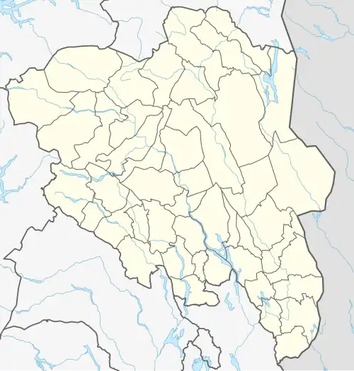 Fleinsendin Location of the lake Show map of Innlandet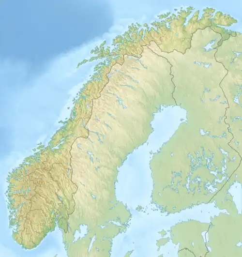 Fleinsendin Fleinsendin (Norway) Show map of Norway | |
| Location | Vang Municipality, Innlandet |
| Coordinates | 61°16′4″N 8°43′10″E / 61.26778°N 8.71944°E / 61.26778; 8.71944 |
| Basin countries | Norway |
| Max. length | 3 kilometres (1.9 mi) |
| Max. width | 1.6 kilometres (0.99 mi) |
| Surface area | 2.45 km2 (0.95 sq mi) |
| Max. depth | 29 metres (95 ft) |
| Shore length1 | 14.57 kilometres (9.05 mi) |
| Surface elevation | 950 metres (3,120 ft) |
| References | NVE[1] |
| 1 Shore length is not a well-defined measure. | |
Fleinsendin is a lake in Vang Municipality in Innlandet county, Norway. The 2.45-square-kilometre (0.95 sq mi) lake lies about 10 kilometres (6.2 mi) west of the village of Beitostølen.
See also
References
- ^ "Innsjødatabase". nve.no (in Norwegian). Retrieved 28 August 2022.
This article is issued from Wikipedia. The text is available under Creative Commons Attribution-Share Alike 4.0 unless otherwise noted. Additional terms may apply for the media files.