Teksevatnet
| Teksevatnet | |
|---|---|
 Teksevatnet Location of the lake Show map of Rogaland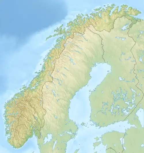 Teksevatnet Teksevatnet (Norway) Show map of Norway | |
| Location | Eigersund, Rogaland |
| Coordinates | 58°33′10″N 6°15′26″E / 58.5529°N 06.2572°E / 58.5529; 06.2572 |
| Basin countries | Norway |
| Max. length | 1.5 kilometres (0.93 mi) |
| Max. width | 3.25 kilometres (2.02 mi) |
| Surface area | 2.26 km2 (0.87 sq mi) |
| Shore length1 | 17.34 kilometres (10.77 mi) |
| Surface elevation | 182 metres (597 ft) |
| References | NVE |
| 1 Shore length is not a well-defined measure. | |
Teksevatnet is a lake located on the border of the municipalities of Eigersund and Lund in Rogaland county, Norway.[1] The 2.26 km2 (0.87 sq mi) lake lies just north of the European route E39 highway about 20 kilometres (12 mi) northeast of the town of Egersund.
See also
References
- ^ "Teksevatnet, Eigersund (Rogaland)" (in Norwegian). yr.no. Retrieved 2016-07-02.
This article is issued from Wikipedia. The text is available under Creative Commons Attribution-Share Alike 4.0 unless otherwise noted. Additional terms may apply for the media files.