Langesjøen
| Langesjøen | |
|---|---|
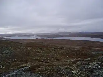 Western part of Langesjøen in Hardangervidda | |
 Langesjøen | |
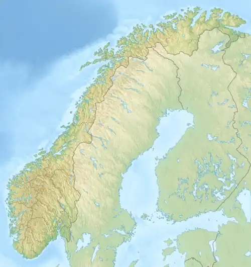
| Location | Nore og Uvdal (Buskerud) |
| Coordinates | 60°14′7″N 7°41′59″E / 60.23528°N 7.69972°E / 60.23528; 7.69972 |
| Primary outflows | Numedalslågen |
| Basin countries | Norway |
| Max. length | 12 km (7.5 mi) |
| Max. width | 1.6 km (0.99 mi) |
| Surface area | 10.78 km2 (4.16 sq mi) |
| Shore length1 | 35.15 km (21.84 mi) |
| Surface elevation | 1,206 m (3,957 ft) |
| References | NVE |
| 1 Shore length is not a well-defined measure. | |
Langesjøen is a lake in the municipality of Nore og Uvdal in Buskerud, Norway. Langesjøen is located ln Hardangervidda. Djupa flows out of Langesjøen to form part of the Numedalslågen watershed (Numedalsvassdraget).[1]
See also
References
This article is issued from Wikipedia. The text is available under Creative Commons Attribution-Share Alike 4.0 unless otherwise noted. Additional terms may apply for the media files.