Gendrey
Gendrey | |
|---|---|
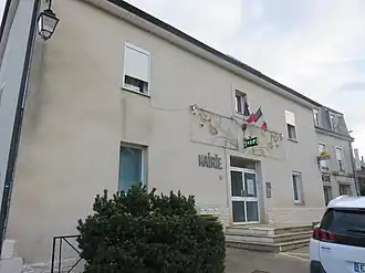 The town hall in Gendrey | |
 Coat of arms | |
Location of Gendrey | |
 Gendrey  Gendrey | |
| Coordinates: 47°12′21″N 5°41′08″E / 47.2058°N 5.6856°E | |
| Country | France |
| Region | Bourgogne-Franche-Comté |
| Department | Jura |
| Arrondissement | Dole |
| Canton | Authume |
| Government | |
| • Mayor (2020–2026) | Axelle Lereu-Lavry[1] |
Area 1 | 13.90 km2 (5.37 sq mi) |
| Population (2022)[2] | 438 |
| • Density | 32/km2 (82/sq mi) |
| Time zone | UTC+01:00 (CET) |
| • Summer (DST) | UTC+02:00 (CEST) |
| INSEE/Postal code | 39246 /39350 |
| Elevation | 222–371 m (728–1,217 ft) |
| 1 French Land Register data, which excludes lakes, ponds, glaciers > 1 km2 (0.386 sq mi or 247 acres) and river estuaries. | |
Gendrey (French pronunciation: [ʒɑ̃dʁɛ]) is a commune in the Jura department in Bourgogne-Franche-Comté in eastern France.[3]
Population
| Year | Pop. | ±% p.a. |
|---|---|---|
| 1968 | 256 | — |
| 1975 | 216 | −2.40% |
| 1982 | 222 | +0.39% |
| 1990 | 258 | +1.90% |
| 1999 | 310 | +2.06% |
| 2009 | 385 | +2.19% |
| 2014 | 415 | +1.51% |
| 2020 | 431 | +0.63% |
| Source: INSEE[4] | ||
See also
References
- ^ "Répertoire national des élus: les maires" (in French). data.gouv.fr, Plateforme ouverte des données publiques françaises. 13 September 2022.
- ^ "Populations de référence 2022" (in French). The National Institute of Statistics and Economic Studies. 19 December 2024.
- ^ INSEE commune file
- ^ Population en historique depuis 1968, INSEE
Wikimedia Commons has media related to Gendrey.