Saligney
Saligney | |
|---|---|
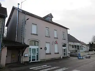 The town hall in Saligney | |
Location of Saligney | |
 Saligney  Saligney | |
| Coordinates: 47°13′15″N 5°38′27″E / 47.2208°N 5.6408°E | |
| Country | France |
| Region | Bourgogne-Franche-Comté |
| Department | Jura |
| Arrondissement | Dole |
| Canton | Authume |
| Government | |
| • Mayor (2020–2026) | Gilbert Lavry[1] |
Area 1 | 7.98 km2 (3.08 sq mi) |
| Population (2022)[2] | 189 |
| • Density | 24/km2 (61/sq mi) |
| Time zone | UTC+01:00 (CET) |
| • Summer (DST) | UTC+02:00 (CEST) |
| INSEE/Postal code | 39499 /39350 |
| Elevation | 199–354 m (653–1,161 ft) |
| 1 French Land Register data, which excludes lakes, ponds, glaciers > 1 km2 (0.386 sq mi or 247 acres) and river estuaries. | |
Saligney (French pronunciation: [saliɲɛ]) is a commune that is located in the Jura department of the Bourgogne-Franche-Comté region in eastern France.[3]
Population
| Year | Pop. | ±% p.a. |
|---|---|---|
| 1968 | 108 | — |
| 1975 | 90 | −2.57% |
| 1982 | 138 | +6.30% |
| 1990 | 162 | +2.02% |
| 1999 | 153 | −0.63% |
| 2009 | 168 | +0.94% |
| 2014 | 182 | +1.61% |
| 2020 | 192 | +0.90% |
| Source: INSEE[4] | ||
See also
References
- ^ "Répertoire national des élus: les maires". data.gouv.fr, Plateforme ouverte des données publiques françaises (in French). 2 December 2020.
- ^ "Populations de référence 2022" (in French). The National Institute of Statistics and Economic Studies. 19 December 2024.
- ^ INSEE commune file
- ^ Population en historique depuis 1968, INSEE
Wikimedia Commons has media related to Saligney.