La Chapelle-sous-Uchon
La Chapelle-sous-Uchon | |
|---|---|
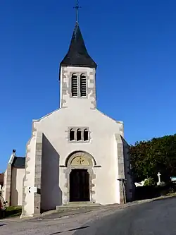 The church in La Chapelle-sous-Uchon | |
Location of La Chapelle-sous-Uchon | |
 La Chapelle-sous-Uchon  La Chapelle-sous-Uchon | |
| Coordinates: 46°50′12″N 4°14′02″E / 46.8367°N 4.2339°E | |
| Country | France |
| Region | Bourgogne-Franche-Comté |
| Department | Saône-et-Loire |
| Arrondissement | Autun |
| Canton | Autun-2 |
Area 1 | 16.59 km2 (6.41 sq mi) |
| Population (2022)[1] | 194 |
| • Density | 12/km2 (30/sq mi) |
| Time zone | UTC+01:00 (CET) |
| • Summer (DST) | UTC+02:00 (CEST) |
| INSEE/Postal code | 71096 /71190 |
| Elevation | 285–605 m (935–1,985 ft) (avg. 465 m or 1,526 ft) |
| 1 French Land Register data, which excludes lakes, ponds, glaciers > 1 km2 (0.386 sq mi or 247 acres) and river estuaries. | |
La Chapelle-sous-Uchon is a commune in the Saône-et-Loire department in the region of Bourgogne-Franche-Comté in eastern France.
See also
References
- ^ "Populations de référence 2022" (in French). The National Institute of Statistics and Economic Studies. 19 December 2024.
Wikimedia Commons has media related to La Chapelle-sous-Uchon.