Propriano
Propriano | |
|---|---|
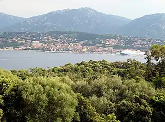 A view from the north, from the RN196 road, from Olmeto | |
.svg.png) Coat of arms | |
Location of Propriano | |
 Propriano 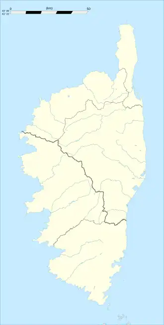 Propriano | |
| Coordinates: 41°40′34″N 8°54′18″E / 41.6761°N 8.905°E | |
| Country | France |
| Region | Corsica |
| Department | Corse-du-Sud |
| Arrondissement | Sartène |
| Canton | Sartenais-Valinco |
| Government | |
| • Mayor (2020–2026) | Paul-Marie Bartoli[1] |
Area 1 | 18.73 km2 (7.23 sq mi) |
| Population (2022)[2] | 3,864 |
| • Density | 210/km2 (530/sq mi) |
| Time zone | UTC+01:00 (CET) |
| • Summer (DST) | UTC+02:00 (CEST) |
| INSEE/Postal code | 2A249 /20110 |
| Elevation | 0–609 m (0–1,998 ft) (avg. 12 m or 39 ft) |
| 1 French Land Register data, which excludes lakes, ponds, glaciers > 1 km2 (0.386 sq mi or 247 acres) and river estuaries. | |
Propriano (French pronunciation: [pʁɔpʁijano]; Corsican: Prupià, Pruprià) is a commune in the Corse-du-Sud department of France on the island of Corsica.
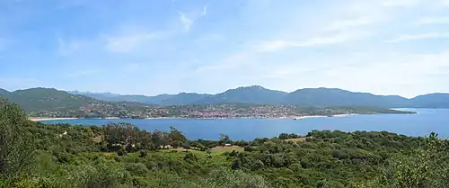
It is situated on the Valinco Gulf.
Population
| Year | Pop. | ±% p.a. |
|---|---|---|
| 1968 | 1,846 | — |
| 1975 | 2,950 | +6.93% |
| 1982 | 3,098 | +0.70% |
| 1990 | 3,217 | +0.47% |
| 1999 | 3,166 | −0.18% |
| 2007 | 3,243 | +0.30% |
| 2012 | 3,622 | +2.24% |
| 2017 | 3,747 | +0.68% |
| 2022 | 3,864 | +0.62% |
| Source: INSEE[3] | ||
Transport
- Railway stations in Corsica – stillborn branch
See also
References
- ^ "Répertoire national des élus: les maires". data.gouv.fr, Plateforme ouverte des données publiques françaises (in French). 2 December 2020.
- ^ "Populations de référence 2022" (in French). The National Institute of Statistics and Economic Studies. 19 December 2024.
- ^ Population en historique depuis 1968, INSEE
Wikimedia Commons has media related to Propriano.