Serra-di-Scopamène
Serra-di-Scopamène
A Sarra di Scupamè | |
|---|---|
Location of Serra-di-Scopamène | |
 Serra-di-Scopamène 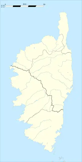 Serra-di-Scopamène | |
| Coordinates: 41°45′16″N 9°05′59″E / 41.7544°N 9.0997°E | |
| Country | France |
| Region | Corsica |
| Department | Corse-du-Sud |
| Arrondissement | Sartène |
| Canton | Sartenais-Valinco |
| Intercommunality | l'Alta Rocca |
| Government | |
| • Mayor (2020–2026) | Jean-Paul Rocca Serra[1] |
Area 1 | 20.42 km2 (7.88 sq mi) |
| Population (2022)[2] | 117 |
| • Density | 5.7/km2 (15/sq mi) |
| Time zone | UTC+01:00 (CET) |
| • Summer (DST) | UTC+02:00 (CEST) |
| INSEE/Postal code | 2A278 /20127 |
| Elevation | 320–1,627 m (1,050–5,338 ft) (avg. 865 m or 2,838 ft) |
| 1 French Land Register data, which excludes lakes, ponds, glaciers > 1 km2 (0.386 sq mi or 247 acres) and river estuaries. | |
Serra-di-Scopamène is a commune in the Corse-du-Sud department of France on the island of Corsica. It takes its name from the Scopamène river, which flows through the commune.
Population
| Year | Pop. | ±% p.a. |
|---|---|---|
| 1968 | 299 | — |
| 1975 | 283 | −0.78% |
| 1982 | 237 | −2.50% |
| 1990 | 154 | −5.25% |
| 1999 | 120 | −2.73% |
| 2009 | 106 | −1.23% |
| 2014 | 107 | +0.19% |
| 2020 | 81 | −4.53% |
| Source: INSEE[3] | ||
See also
References
- ^ "Répertoire national des élus: les maires". data.gouv.fr, Plateforme ouverte des données publiques françaises (in French). 2 December 2020.
- ^ "Populations de référence 2022" (in French). The National Institute of Statistics and Economic Studies. 19 December 2024.
- ^ Population en historique depuis 1968, INSEE
Wikimedia Commons has media related to Serra-di-Scopamène.