Soumoulou
Soumoulou | |
|---|---|
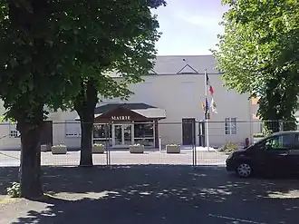 Town Hall | |
.svg.png) Coat of arms | |
Location of Soumoulou | |
 Soumoulou  Soumoulou | |
| Coordinates: 43°16′03″N 0°11′20″W / 43.2675°N 0.1889°W | |
| Country | France |
| Region | Nouvelle-Aquitaine |
| Department | Pyrénées-Atlantiques |
| Arrondissement | Pau |
| Canton | Vallées de l'Ousse et du Lagoin |
| Intercommunality | Nord Est Béarn |
| Government | |
| • Mayor (2020–2026) | Alain Trépeu[1] |
Area 1 | 2.79 km2 (1.08 sq mi) |
| Population (2022)[2] | 1,587 |
| • Density | 570/km2 (1,500/sq mi) |
| Time zone | UTC+01:00 (CET) |
| • Summer (DST) | UTC+02:00 (CEST) |
| INSEE/Postal code | 64526 /64420 |
| Elevation | 272–309 m (892–1,014 ft) (avg. 371 m or 1,217 ft) |
| 1 French Land Register data, which excludes lakes, ponds, glaciers > 1 km2 (0.386 sq mi or 247 acres) and river estuaries. | |
Soumoulou (French pronunciation: [sumulu]; Occitan: Somolon) is a commune in the French department of the Pyrénées-Atlantiques, region of Nouvelle-Aquitaine (before 2015: Aquitaine), southwestern France. It is 120 km (75 mi) from the Basque Coast and the beaches south of the Landes coast and 70 km (43 mi) from the Pyrenees.
References
- ^ "Répertoire national des élus: les maires". data.gouv.fr, Plateforme ouverte des données publiques françaises (in French). 2 December 2020.
- ^ "Populations de référence 2022" (in French). The National Institute of Statistics and Economic Studies. 19 December 2024.
See also
Wikimedia Commons has media related to Soumoulou.