Bazac
Bazac | |
|---|---|
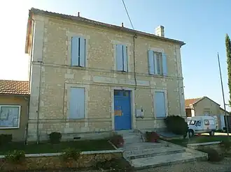 Town hall | |
.svg.png) Coat of arms | |
Location of Bazac | |
 Bazac  Bazac | |
| Coordinates: 45°13′55″N 0°03′01″E / 45.2319°N 0.0503°E | |
| Country | France |
| Region | Nouvelle-Aquitaine |
| Department | Charente |
| Arrondissement | Angoulême |
| Canton | Tude-et-Lavalette |
| Government | |
| • Mayor (2020–2026) | Philippe Pellissier[1] |
Area 1 | 4.92 km2 (1.90 sq mi) |
| Population (2022)[2] | 147 |
| • Density | 30/km2 (77/sq mi) |
| Time zone | UTC+01:00 (CET) |
| • Summer (DST) | UTC+02:00 (CEST) |
| INSEE/Postal code | 16034 /16210 |
| Elevation | 25–121 m (82–397 ft) (avg. 75 m or 246 ft) |
| 1 French Land Register data, which excludes lakes, ponds, glaciers > 1 km2 (0.386 sq mi or 247 acres) and river estuaries. | |
Bazac (French pronunciation: [bazak]) is a commune in the Charente department in southwestern France.
Population
| Year | Pop. | ±% p.a. |
|---|---|---|
| 1968 | 260 | — |
| 1975 | 233 | −1.55% |
| 1982 | 158 | −5.40% |
| 1990 | 159 | +0.08% |
| 1999 | 150 | −0.65% |
| 2009 | 164 | +0.90% |
| 2014 | 153 | −1.38% |
| 2020 | 145 | −0.89% |
| Source: INSEE[3] | ||
See also
References
- ^ "Répertoire national des élus: les maires". data.gouv.fr, Plateforme ouverte des données publiques françaises (in French). 9 August 2021.
- ^ "Populations de référence 2022" (in French). The National Institute of Statistics and Economic Studies. 19 December 2024.
- ^ Population en historique depuis 1968, INSEE
Wikimedia Commons has media related to Bazac.