Saint-Avit, Charente
Saint-Avit | |
|---|---|
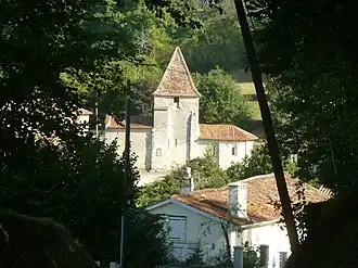 The church in Saint-Avit | |
Location of Saint-Avit | |
 Saint-Avit  Saint-Avit | |
| Coordinates: 45°14′51″N 0°03′20″E / 45.2475°N 0.0556°E | |
| Country | France |
| Region | Nouvelle-Aquitaine |
| Department | Charente |
| Arrondissement | Angoulême |
| Canton | Tude-et-Lavalette |
| Intercommunality | Lavalette Tude Dronne |
| Government | |
| • Mayor (2020–2026) | Patrick Florent[1] |
Area 1 | 3.66 km2 (1.41 sq mi) |
| Population (2022)[2] | 219 |
| • Density | 60/km2 (150/sq mi) |
| Time zone | UTC+01:00 (CET) |
| • Summer (DST) | UTC+02:00 (CEST) |
| INSEE/Postal code | 16302 /16210 |
| Elevation | 33–128 m (108–420 ft) (avg. 44 m or 144 ft) |
| 1 French Land Register data, which excludes lakes, ponds, glaciers > 1 km2 (0.386 sq mi or 247 acres) and river estuaries. | |
Saint-Avit is a commune in the Charente department in southwestern France.
Population
| Year | Pop. | ±% p.a. |
|---|---|---|
| 1968 | 185 | — |
| 1975 | 195 | +0.75% |
| 1982 | 209 | +1.00% |
| 1990 | 194 | −0.93% |
| 1999 | 180 | −0.83% |
| 2009 | 186 | +0.33% |
| 2014 | 203 | +1.76% |
| 2020 | 217 | +1.12% |
| Source: INSEE[3] | ||
See also
References
- ^ "Répertoire national des élus: les maires". data.gouv.fr, Plateforme ouverte des données publiques françaises (in French). 9 August 2021.
- ^ "Populations de référence 2022" (in French). The National Institute of Statistics and Economic Studies. 19 December 2024.
- ^ Population en historique depuis 1968, INSEE
Wikimedia Commons has media related to Saint-Avit (Charente).