Condac
Condac | |
|---|---|
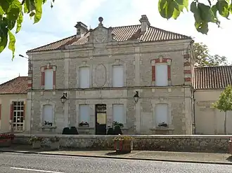 The town hall in Condac | |
Location of Condac | |
 Condac  Condac | |
| Coordinates: 46°01′30″N 0°13′43″E / 46.025°N 0.2286°E | |
| Country | France |
| Region | Nouvelle-Aquitaine |
| Department | Charente |
| Arrondissement | Confolens |
| Canton | Charente-Nord |
| Government | |
| • Mayor (2020–2026) | Christophe Demaille[1] |
Area 1 | 9.59 km2 (3.70 sq mi) |
| Population (2022)[2] | 460 |
| • Density | 48/km2 (120/sq mi) |
| Time zone | UTC+01:00 (CET) |
| • Summer (DST) | UTC+02:00 (CEST) |
| INSEE/Postal code | 16104 /16700 |
| Elevation | 77–141 m (253–463 ft) (avg. 85 m or 279 ft) |
| 1 French Land Register data, which excludes lakes, ponds, glaciers > 1 km2 (0.386 sq mi or 247 acres) and river estuaries. | |
Condac (French pronunciation: [kɔ̃dak]) is a commune in the Charente department in southwestern France.
Population
| Year | Pop. | ±% p.a. |
|---|---|---|
| 1968 | 327 | — |
| 1975 | 376 | +2.01% |
| 1982 | 401 | +0.92% |
| 1990 | 429 | +0.85% |
| 1999 | 470 | +1.02% |
| 2009 | 470 | +0.00% |
| 2014 | 466 | −0.17% |
| 2020 | 468 | +0.07% |
| Source: INSEE[3] | ||
See also
References
- ^ "Répertoire national des élus: les maires". data.gouv.fr, Plateforme ouverte des données publiques françaises (in French). 2 December 2020.
- ^ "Populations de référence 2022" (in French). The National Institute of Statistics and Economic Studies. 19 December 2024.
- ^ Population en historique depuis 1968, INSEE
Wikimedia Commons has media related to Condac.